

- Usage in publication:
-
- Perth limestone member
- Modifications:
-
- Named
- Dominant lithology:
-
- Limestone
- AAPG geologic province:
-
- Illinois basin
Summary:
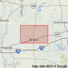
Name Perth limestone member of Brazil formation proposed for marine unit that closely overlies Minshall coal. Numerous references have been made to this limestone and Wanless (1939) referred to it as Minshall limestone. Name Minshall is herein abandoned. At type locality, limestone is gray, hard, argillaceous, and fossiliferous. Weathers brown. Thickness 6.3 ft. Member lies 0.2 ft to 15 ft above Minshall coal and 3 to 15 ft below Coal II, which lies near top of the Brazil formation. Age is Middle Pennsylvanian.
Source: GNU records (USGS DDS-6; Reston GNULEX).
- Usage in publication:
-
- Perth Limestone Member
- Modifications:
-
- Overview
- AAPG geologic province:
-
- Illinois basin
Summary:
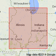
Physical correlation indicates that the type Perth Limestone Member (Staunton Formation) of northern Clay Co., IN, is equivalent to the Lewisport Limestone in KY. The Lewisport, in turn, is equivalent to the Curlew Limestone Member. Correlations have been confirmed by faunal evidence. The Perth/Curlew is composed of one or more limestone beds that intergrade laterally with shale and siltstone containing marine fossils.
Source: GNU records (USGS DDS-6; Reston GNULEX).
For more information, please contact Nancy Stamm, Geologic Names Committee Secretary.
Asterisk (*) indicates published by U.S. Geological Survey authors.
"No current usage" (†) implies that a name has been abandoned or has fallen into disuse. Former usage and, if known, replacement name given in parentheses ( ).
Slash (/) indicates name conflicts with nomenclatural guidelines (CSN, 1933; ACSN, 1961, 1970; NACSN, 1983, 2005, 2021). May be explained within brackets ([ ]).