The National Geologic Map Database is migrating to a new infrastructure. We apologize for any service disruptions during this process.
|
|---|


- Usage in publication:
-
- Permian System*, Period*
- Modifications:
-
- Revised
- Reference
- AAPG geologic province:
-
- Permian basin
- Many basins
Summary:
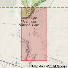
Divided into Lower and Upper series and Early and Late epochs coinciding as close as possible with divisions recognized in type Permian in Russia; divisions are to be drawn according to existing concepts of biotic correlation with type sequence. Reference sequence for United States, many basins, shall be Permian outcrops of northwestern Trans-Pecos TX (Delaware, Guadalupe and Sierra Diablo Mountains), in Permian basin, where approximate faunal boundary is taken as that between Cherry Canyon and Bell Canyon formations which are within Guadalupe provincial series. Boundary also falls between Word and Capitan formations as recognized in Glass Mountains, TX area. [Lower-Upper Permian Series boundary is within Guadalupian Provincial Series]. West TX provincial series are retained according to current usage.
Source: GNU records (USGS DDS-6; Denver GNULEX).
For more information, please contact Nancy Stamm, Geologic Names Committee Secretary.
Asterisk (*) indicates published by U.S. Geological Survey authors.
"No current usage" (†) implies that a name has been abandoned or has fallen into disuse. Former usage and, if known, replacement name given in parentheses ( ).
Slash (/) indicates name conflicts with nomenclatural guidelines (CSN, 1933; ACSN, 1961, 1970; NACSN, 1983, 2005, 2021). May be explained within brackets ([ ]).