- Usage in publication:
-
- Penholoway formation*
- Modifications:
-
- Overview
- AAPG geologic province:
-
- Atlantic Coast basin
- Florida platform
- South Georgia sedimentary province
Summary:
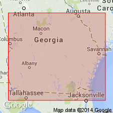
In 1925 (Georgia Geol. Survey Bull., no. 42, p. 24-26) C.W. Cooke named and described the Penholoway terrace, citing as type an area in Wayne County, Georgia, extending from Hortense northeastward to Penholoway Bay and Penholoway Creek. In 1931 (Washington Acad. Sci. Jour., v. 21, p. 509-510) he stated that the Penholoway terrace was formed when the sea stood about 70 feet higher than its present level, and that its shore line can be traced for long distances in both directions from type locality. In 1932 (16th Intl. Geol. Cong. Gdbk. 12, p. 5, 8), he applied the name Penholoway formation to the deposits formed when the sea stood 70 feet above its present level. The other Pleistocene terrace formations now [ca. 1936] recognized across the Atlantic Coastal Plain from Delaware to Florida, as explained on p. 2 and 5 of Gdbk. 5 and in Gdbk. 12, 1932 (table opp. p. 4, p. 14, 15, etc.), are enumerated under Columbia group.
Source: US geologic names lexicon (USGS Bull. 896, p. 1633).

- Usage in publication:
-
- Penholoway formation*
- Modifications:
-
- Areal extent
- AAPG geologic province:
-
- Florida platform
Summary:
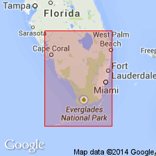
Pg. 75-77, pls. 2, 3. Penholoway formation. In southern Florida, Talbot, Penholoway, and Wicomico formations comprise conformable sequence of deposits whose differentiation is based mainly on location of their respective shore lines, namely 42, 70, and 100 feet above present sea level. Presumably Penholoway everywhere merges downward into deposits of Wicomico age, and Talbot into Penholoway and Wicomico successively. Sequence unconformably overlies Caloosahatchee marl and is likewise separated by a stratigraphic break from the Pamlico formation, which fringes around it. Age is Pleistocene.
Well exposed in FL along Highway 18, the Childs-Okeechobee Road and west of Lake Okeechobee.
Source: US geologic names lexicon (USGS Bull. 1200, p. 2977).

- Usage in publication:
-
- Penholoway Formation†
- Penholoway terrace
- Modifications:
-
- Abandoned
- AAPG geologic province:
-
- Atlantic Coast basin
- Florida platform
- South Georgia sedimentary province
Summary:
Concept of Penholoway Formation is invalid and should be abandoned in the lithostratigraphic sense along with Silver Bluff, Princess Anne, Pamlico, Talbot, Wicomico, Sunderland, Coharie, and Brandywine Formations. Name is retained as a terrace, as it was originally defined. Penholoway terrace is directly underlain by Cypresshead Formation (new name), which also underlies the "Talbot" and "Wicomico" terraces.
Source: GNU records (USGS DDS-6; Reston GNULEX).

- Usage in publication:
-
- Penholoway Formation*
- Modifications:
-
- Reinstated
- AAPG geologic province:
-
- Atlantic Coast basin
Summary:
Penholoway Formation of Pleistocene age is used in SC. Unit consists of clayey sand and clay facies; silty to sandy clay, medium-gray to medium bluish-gray, weathers to very light gray, frequently well laminated. Unit is up to 15 feet (5 m) thick.
Source: GNU records (USGS DDS-6; Reston GNULEX).

- Usage in publication:
-
- Penholoway Formation
- Modifications:
-
- Areal extent
- AAPG geologic province:
-
- Atlantic Coast basin
Summary:
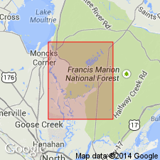
Penholoway Formation overlies the Waccamaw Formation and is mostly composed of regressive facies. Backbarrier sediments are most abundant, but barriers are generally smaller than those of the Waccamaw. Unit surface lies mostly between 15 and 21 m above sea level in an outcrop belt roughly 10 to 25 km wide from the Cape Fear River southward to Charleston, South Carolina. South of Charleston, unit is restricted in outcrop and has probably been eroded during younger cycles. Age is early Pleistocene.
Source: GNU records (USGS DDS-6; Reston GNULEX).
For more information, please contact Nancy Stamm, Geologic Names Committee Secretary.
Asterisk (*) indicates published by U.S. Geological Survey authors.
"No current usage" (†) implies that a name has been abandoned or has fallen into disuse. Former usage and, if known, replacement name given in parentheses ( ).
Slash (/) indicates name conflicts with nomenclatural guidelines (CSN, 1933; ACSN, 1961, 1970; NACSN, 1983, 2005, 2021). May be explained within brackets ([ ]).

