The National Geologic Map Database is migrating to a new infrastructure. We apologize for any service disruptions during this process.
|
|---|


- Usage in publication:
-
- Pegram limestone
- Modifications:
-
- Named
- Dominant lithology:
-
- Limestone
- AAPG geologic province:
-
- Cincinnati arch
Summary:
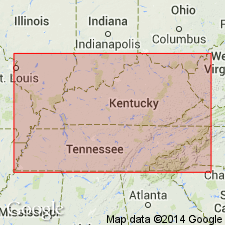
Name Pegram limestone applied to Devonian limestone overlying all exposures of the Louisville formation in the valley of the Harpeth River between Newsom and bridge west of Pegram. Its thickness increases toward the west. At Newsom it is 3 ft thick; at bridge 1.5 mi west of Pegram it is 8 ft thick; and at its most western exposure, in the quarry north of the railroad, the total thickness is 12 ft. In Harpeth River region, it is usually very white and crystalline. At bridge west of Pegram, this white limestone is overlain by 6 to 12 in. of dark earthy rock, and above that lies the Black shale. Top of Pegram limestone seems to correspond to Sellersburg limestone of IN and Hamilton of NY while lower part contains at least one characteristic Coniferous fossil. [Unconformably overlies Camden chert and unconformably underlies Hardin sandstone member of Chattanooga shale according to Dunbar (1919: Tennessee Geol. Survey Bull. 21).]
Source: GNU records (USGS DDS-6; Reston GNULEX).
- Usage in publication:
-
- Pegram
- Modifications:
-
- Not used
- AAPG geologic province:
-
- Cincinnati arch
Summary:
Pegram limestone discarded. Strata divided into Jeffersonville limestone below and Sellersburg limestone above.
Source: GNU records (USGS DDS-6; Reston GNULEX).
- Usage in publication:
-
- Pegram formation
- Modifications:
-
- Redescribed
- Dominant lithology:
-
- Sandstone
- Shale
- AAPG geologic province:
-
- Cincinnati arch
Summary:
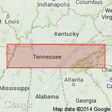
Pg. 312-315. Pegram formation. Varies in thickness from featheredge to maximum of 30 feet in Cheatham County. Unit referred to as sandstone, limestone, shale, and so on, depending upon phase of occurrence of lithologic type. Unconformably overlain by Chattanooga shale. Major overlapping unit in central Tennessee; at the Whirl of Buffalo River and at Standing Rock Creek, rests on Camden limestone, on Mill Creek, it is on Beech River; in Davidson and Cheatham Counties, rests on the Lego, Dixon, Bob, Beech River, and Bledsoe(?) formations; in Trousdale and Sumner Counties, overlies the Laurel. [Age is Middle Devonian.]
Source: US geologic names lexicon (USGS Bull. 1200, p. 2970-2971).
For more information, please contact Nancy Stamm, Geologic Names Committee Secretary.
Asterisk (*) indicates published by U.S. Geological Survey authors.
"No current usage" (†) implies that a name has been abandoned or has fallen into disuse. Former usage and, if known, replacement name given in parentheses ( ).
Slash (/) indicates name conflicts with nomenclatural guidelines (CSN, 1933; ACSN, 1961, 1970; NACSN, 1983, 2005, 2021). May be explained within brackets ([ ]).