

- Usage in publication:
-
- Peebles dolomite
- Modifications:
-
- Named
- Dominant lithology:
-
- Dolomite
- AAPG geologic province:
-
- Cincinnati arch
Summary:
Name Peebles dolomite introduced for strata in Highland and Adams Cos., OH, equivalent to Guelph Dolomite of CAN. Belongs above the Cedarville of Springfield area, which is equivalent to Racine of WI, the Racine being directly under the Guelph in that State.
Source: GNU records (USGS DDS-6; Reston GNULEX).
- Usage in publication:
-
- Peebles formation
- Modifications:
-
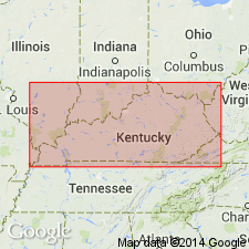
- Areal extent
- Overview
- AAPG geologic province:
-
- Cincinnati arch
Summary:
Peebles formation is typically exposed at Peebles, OH, where it includes the part of the Niagaran that intervenes between the top of the Bisher west of town and base of the Greenfield 2 or 3 mi eastward. At Hillsboro, the Lilley formation intervenes between the Bisher and the Peebles. Peebles formation can be traced southward as far as Ohio River in Adams Co., where characteristic Guelph fossils occur on the hills facing the river. Not exposed south of Lewis Co.
Source: GNU records (USGS DDS-6; Reston GNULEX).
- Usage in publication:
-
- Peebles dolomite
- Modifications:
-
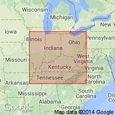
- Overview
- AAPG geologic province:
-
- Cincinnati arch
Summary:
Peebles dolomite underlies Greenfield dolomite (Cayugan) and overlies Bisher formation, and none of the three are known south of Lewis Co., KY. Niagaran section at Hillsboro, OH, consists of (ascending) Dayton limestone, Alger clay shale, Ribolt shale, Bisher formation, Lilley formation, and Peebles dolomite. Type section is described in this report.
Source: GNU records (USGS DDS-6; Reston GNULEX).
- Usage in publication:
-
- Peebles Dolomite
- Modifications:
-
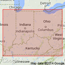
- Overview
- AAPG geologic province:
-
- Cincinnati arch
Summary:
Peebles Dolomite overlies Lilley Formation and underlies Greenfield Dolomite, Hillsboro Sandstone, or Ohio Shale in southern OH. Age is Silurian (Wenlockian and Ludlovian).
Source: GNU records (USGS DDS-6; Reston GNULEX).
For more information, please contact Nancy Stamm, Geologic Names Committee Secretary.
Asterisk (*) indicates published by U.S. Geological Survey authors.
"No current usage" (†) implies that a name has been abandoned or has fallen into disuse. Former usage and, if known, replacement name given in parentheses ( ).
Slash (/) indicates name conflicts with nomenclatural guidelines (CSN, 1933; ACSN, 1961, 1970; NACSN, 1983, 2005, 2021). May be explained within brackets ([ ]).