- Usage in publication:
-
- Pedernal chert member
- Modifications:
-
- Original reference
- Dominant lithology:
-
- Chert
- Limestone
- AAPG geologic province:
-
- San Juan basin
Summary:
Pg. 618, 620, 622. Pedernal chert member of Abiquiu tuff. Thin veneer of remarkably pure chert that overlies the broad plateau-like surface which forms summit of San Pedro Mountain in many places. It passes laterally, without losing continuity, into poorly consolidated conglomerate, sandstone, shale, and tuff, which, in Cerro Pedernal, are obviously part of Abiquiu tuff.
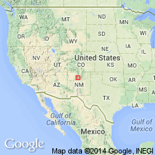
Mapped on San Pedro Mountain, [in T. 21 and 22 N., R. 1 E., Sandoval Co.], and its horizon followed eastward into the high mesas of northern part of Jemez Mountains. Named after Cerro Pedernal, a mountain whose Spanish name means "flint," [in T. 22 N., R. 4 E., Sandoval Co.], north-central NM. It [the mountain] presumably was so named from outcrops of chert long quarried by the Indians.
Source: US geologic names lexicon (USGS Bull. 1200, p. 2964).
For more information, please contact Nancy Stamm, Geologic Names Committee Secretary.
Asterisk (*) indicates published by U.S. Geological Survey authors.
"No current usage" (†) implies that a name has been abandoned or has fallen into disuse. Former usage and, if known, replacement name given in parentheses ( ).
Slash (/) indicates name conflicts with nomenclatural guidelines (CSN, 1933; ACSN, 1961, 1970; NACSN, 1983, 2005, 2021). May be explained within brackets ([ ]).

