- Usage in publication:
-
- Pearl Formation
- Modifications:
-
- Named
- Dominant lithology:
-
- Sand
- Gravel
- AAPG geologic province:
-
- Illinois basin
Summary:
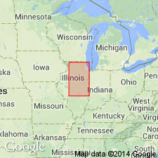
Pearl Formation here named for town in Pike Co., west-central IL. Consists of sand and gravel and contains the Sangamon Soil in upper part. It its type locality, the Pearl is largely a pebbly sand about 40 ft thick with beds dipping steeply southwest, and it appears to be an ice-front delta. Composed mainly of Illinoian outwash and is restricted to the outwash that overlies or extends beyond Illinoian till. Sand and gravel in the till and intratill members of the Glasford Formation may be continuous into the Pearl Formation, but in nomenclature they are separated from it by a vertical cutoff. Occupies same stratigraphic position as the Teneriffe Silt, but is separated from it by a vertical cutoff. The Pearl has essentially the same lithologic variations as the Wisconsinan Henry Formation, but differentiation is based largely on the presence of the Sangamon Soil in the upper part of the Pearl. Most commonly occurs in terraces along valleys near the margin of Illinoian glaciation. Also present as outwash on the Illinoian plain. Underlies Roxana Silt.
Source: GNU records (USGS DDS-6; Reston GNULEX).

- Usage in publication:
-
- Pearl Formation
- Modifications:
-
- Revised
- AAPG geologic province:
-
- Illinois basin
Summary:
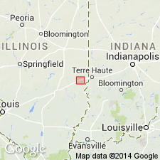
Pearl Formation discontinuously overlies the melange facies of the Vandalia Till member of the Glasford Formation. In this report the Berry Clay Member, a soft, gleyed diamicton, is locally assigned to the upper Pearl, but is the uppermost member of the Glasford elsewhere. Mean thickness of the formation at the Martinsville site is 1.9 ft, but reaches a maximum of 12.9 ft. Composed of stratified, poorly sorted sand and grave; well sorted, medium grained sand; and uncommon, thin interbeds of silty clay. Illuvial clay occurs in the upper portion of the Pearl and is related to the Sangamon Soil. Underlies Roxana Silt. Age is Pleistocene (Illinoian and Sangamonian).
Source: GNU records (USGS DDS-6; Reston GNULEX).
For more information, please contact Nancy Stamm, Geologic Names Committee Secretary.
Asterisk (*) indicates published by U.S. Geological Survey authors.
"No current usage" (†) implies that a name has been abandoned or has fallen into disuse. Former usage and, if known, replacement name given in parentheses ( ).
Slash (/) indicates name conflicts with nomenclatural guidelines (CSN, 1933; ACSN, 1961, 1970; NACSN, 1983, 2005, 2021). May be explained within brackets ([ ]).

