

- Usage in publication:
-
- Peach Springs member
- Modifications:
-
- Original reference
- Dominant lithology:
-
- Limestone
- AAPG geologic province:
-
- Plateau sedimentary province
Summary:
Pg. 14 (fig. 1), 29, 99-101. Peach Springs member of Muav formation of Tonto group. In area of type locality, consists of thin-bedded gray limestone, some of which is aphanitic aud some fine-grained. Much mottled with brown siltstone. This locality apparently relatively near margin of limestone facies because in sections to north and west the rock is more aphanitic, medium- to dark-gray, much less mottled with brown siltstone, and thicker bedded. Thicknesss uniform in central Grand Canyon between Fossil Rapids and Toroweap; westward is slightly thicker; ranges from 42 to 90 feet. Older than Kanab Canyon member (new); younger than Spencer Canyon member (new). Fossils (trilobites, brachiopods). Age is Middle Cambrian. Report includes cross sections, measured sections.
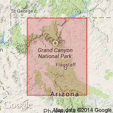
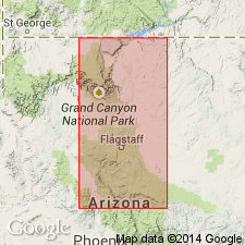
Type locality: approximately 8 mi south-southwest of mouth of Diamond Creek in Peach Springs Wash, Mohave and Yavapai Cos., northwestern AZ. Unit extends from vicinity of Fossil Rapids westward through the Grand Canyon. Named from Peach Springs on south side of Colorado River, Mohave Co., northwestern AZ.
Source: US geologic names lexicon (USGS Bull. 1200, p. 2955); supplemental information from GNU records (USGS DDS-6; Menlo GNULEX, Denver GNULEX), GNC index card files.
- Usage in publication:
-
- Peach Springs Member
- Modifications:
-
- Overview
- AAPG geologic province:
-
- Plateau sedimentary province
Summary:
Includes measured sections of Peach Springs and Kanab Canyon Members (Muav Limestone) at Diamond Creek, Peach Springs Canyon, Music Mountain, and Lion Mountain, northwest Arizona. Peach Springs Member (of Muav Limestone) extends throughout most of Grand Canyon area and consists of mottled aphanitic limestone. Margin of limestone facies is east of both Peach Springs Canyon and Lion Mountain and trends north-south.
Source: GNU records (USGS DDS-6; Menlo GNULEX).
- Usage in publication:
-
- Peach Springs Canyon Member
- Modifications:
-
- Redescribed
- AAPG geologic province:
-
- Plateau sedimentary province
Summary:
Chart modified from McKee (1945) shows Peach Springs Member as "Peach Springs Canyon Member". Underlies Kanab Canyon Member; overlies unnamed shale (both of Muav Limestone) in western Grand Canyon area, AZ.
Source: GNU records (USGS DDS-6; Menlo GNULEX).
For more information, please contact Nancy Stamm, Geologic Names Committee Secretary.
Asterisk (*) indicates published by U.S. Geological Survey authors.
"No current usage" (†) implies that a name has been abandoned or has fallen into disuse. Former usage and, if known, replacement name given in parentheses ( ).
Slash (/) indicates name conflicts with nomenclatural guidelines (CSN, 1933; ACSN, 1961, 1970; NACSN, 1983, 2005, 2021). May be explained within brackets ([ ]).