

- Usage in publication:
-
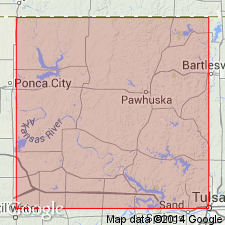
- Pawhuska limestone
- Modifications:
-
- Revised
- AAPG geologic province:
-
- Chautauqua platform
Summary:
Revised to include the newly named Plummer limestone member. Consists of about 125 ft of limestone, shale, and thin sandstones. Has two thin beds of "red lime" at the top. Overlying shale and sandstone is unnamed. Present in Osage Co, OK on the Chautauqua platform. Overlies the Elgin sandstone. Geologic maps. Columnar sections. Of Pennsylvanian age.
Source: GNU records (USGS DDS-6; Denver GNULEX).
For more information, please contact Nancy Stamm, Geologic Names Committee Secretary.
Asterisk (*) indicates published by U.S. Geological Survey authors.
"No current usage" (†) implies that a name has been abandoned or has fallen into disuse. Former usage and, if known, replacement name given in parentheses ( ).
Slash (/) indicates name conflicts with nomenclatural guidelines (CSN, 1933; ACSN, 1961, 1970; NACSN, 1983, 2005, 2021). May be explained within brackets ([ ]).