

- Usage in publication:
-
- Patton Shale Member
- Modifications:
-
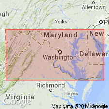
- Areal extent
- AAPG geologic province:
-
- Appalachian basin
Summary:
At the Sideling Hill road cut, the unit believed to be the Patton Shale by Bjerstedt (1986) is present between two thick sandstone units, the upper assigned to the Purslane Sandstone and the lower to the Rockwell Formation. The contact between the two units is here redefined. The intervening shale, is assigned to the overlying Purslane Sandstone in this report. The term Patton Shale Member of Rockwell Formation (of Bjerstedt, 1986) is not used.
Source: GNU records (USGS DDS-6; Reston GNULEX).
For more information, please contact Nancy Stamm, Geologic Names Committee Secretary.
Asterisk (*) indicates published by U.S. Geological Survey authors.
"No current usage" (†) implies that a name has been abandoned or has fallen into disuse. Former usage and, if known, replacement name given in parentheses ( ).
Slash (/) indicates name conflicts with nomenclatural guidelines (CSN, 1933; ACSN, 1961, 1970; NACSN, 1983, 2005, 2021). May be explained within brackets ([ ]).