- Usage in publication:
-
- Patterson Lake Member
- Modifications:
-
- Named
- Biostratigraphic dating
- Dominant lithology:
-
- Conglomerate
- Sandstone
- AAPG geologic province:
-
- Cascades province
- Okanogan province
Summary:
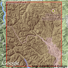
Named for Patterson Lake [5 mi west of Winthrop, Winthrop 7.5' quad, Okanogan Co, WA] as lowermost of 3 members of Virginian Ridge Formation. Type locality is on hillside on east side of lake. Consists of succession of coarse conglomerate and sandstone intervals, with less conglomerate and better organized, oriented fabric and texture upward. Reference section at type locality is 425 m thick. Grades laterally and vertically into Slate Peak member (new) of Virginian Ridge Formation. Base is not exposed; presumed unconformable on Newby Group. Barksdale (1975) fossil locality at 400 m level. Fossils are typical --but not restrictively --of Aptian to Albian [Early Cretaceous] age.
Source: GNU records (USGS DDS-6; Menlo GNULEX).
For more information, please contact Nancy Stamm, Geologic Names Committee Secretary.
Asterisk (*) indicates published by U.S. Geological Survey authors.
"No current usage" (†) implies that a name has been abandoned or has fallen into disuse. Former usage and, if known, replacement name given in parentheses ( ).
Slash (/) indicates name conflicts with nomenclatural guidelines (CSN, 1933; ACSN, 1961, 1970; NACSN, 1983, 2005, 2021). May be explained within brackets ([ ]).

