

- Usage in publication:
-
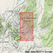
- Parunuweap formation*
- Modifications:
-
- Named
- Dominant lithology:
-
- Sand
- AAPG geologic province:
-
- Plateau sedimentary province
Summary:
Named for deposits of alluvial sands that are exposed at many localities in Parunuweap valley, Kane Co, UT in Plateau sedimentary province. No type locality designated. These deposits show several periods of aggradation and degradation during Recent and perhaps late Pleistocene time. Includes two types of sediments--conglomerate and alluvial or lacustrine silt, and ranges from 30-8 ft thick. These types vary in composition from place to place. The conglomerates have calcareous cement, are tinted brown by iron oxide, and generally consist of angular slabs (1-4 ft long) of gray sandstone, worn limestone pebbles, elongated iron concretions (1-12 inches in diameter), and rounded quartz, quartzite, and chert pebbles (usually less than 3 inches in diameter). In Kanab valley, conglomerate includes angular chunks of basalt and many mud balls. In Coal Creek Valley, conglomerate includes slabs of pink and red limestone, gray sandstone, and rhyolite. Lacustrine type consists of thin layers of fine-grained quartz sand and closely foliated sheets of calcareous and gypsiferous silt. Rests unconformably on rocks of Triassic to Cretaceous age. Is unconformably overlain by basalt or talus. Restricted in distribution to valleys, low divides, and shallow basins on plateau tops. Transported from nearby areas by strong streams, and dumped into valleys or depressions. No fossils found. Resembles Sevier River formation of late Pliocene or early Pleistocene age.
Source: GNU records (USGS DDS-6; Denver GNULEX).
- Usage in publication:
-
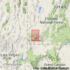
- Parunuweap(?) formation
- Modifications:
-
- Areal extent
- Overview
- AAPG geologic province:
-
- Great Basin province
Summary:
Tentatively extended into area of Pine Valley Mountains. Outcrops beneath Quaternary basalts that cap Bald Hill, northwest of New Harmony, Washington Co, UT, Great Basin province. Here, unit is about 200 ft thick. Shown on stratigraphic chart as Pleistocene? age and to overlie (contact relationships unknown) newly named Eight Mile dacite and Culbert breccia and to unconformably underlie Pleistocene basalt. Shown on geologic map explanation to be Tertiary age and to underlie Eight Mile and overlie Pine Valley latite (new). Unit consists of volcanic sediments derived from Tertiary volcanic rocks over which they lie unconformably. Cross section. Author (p. 38) tentatively assigns unit a Pliocene age.
Source: GNU records (USGS DDS-6; Denver GNULEX).
- Usage in publication:
-
- Parunuweap Formation*†
- Modifications:
-
- Abandoned
Summary:
Abandoned in favor of Sevier River Formation.
Source: GNU records (USGS DDS-6; Denver GNULEX).
For more information, please contact Nancy Stamm, Geologic Names Committee Secretary.
Asterisk (*) indicates published by U.S. Geological Survey authors.
"No current usage" (†) implies that a name has been abandoned or has fallen into disuse. Former usage and, if known, replacement name given in parentheses ( ).
Slash (/) indicates name conflicts with nomenclatural guidelines (CSN, 1933; ACSN, 1961, 1970; NACSN, 1983, 2005, 2021). May be explained within brackets ([ ]).