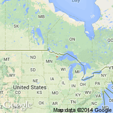
- Usage in publication:
-
- Partridge River intrusion
- Modifications:
-
- Overview
- AAPG geologic province:
-
- Sioux uplift
Summary:
Duluth Complex described as a thick, wedge-shaped body of gabbro, troctolite, and anorthosite up to 15 km thick. Complex was emplaced into the Midcontinent Rift system beneath the Keweenawan North Shore Volcanic Group approximately 1.1 Ga. The Partridge River Intrusion is one of several troctolitic intrusions on the northwestern margin of the Duluth complex that contain Cu-Ni sulfides adjacent to the footwall rocks. Crystal-liquid mixture of Partridge River was modified after emplacement by assimilation of footwall Virginia Formation. Authors follow nomenclature of Severson and Hauck (1990) who incorporated these basal oxide-rich gabbros into the Partridge River. Martineau (1989), on the other hand, abandoned the name Partridge River and called these basal rocks Babbit Intrusion.
Source: GNU records (USGS DDS-6; Reston GNULEX).
For more information, please contact Nancy Stamm, Geologic Names Committee Secretary.
Asterisk (*) indicates published by U.S. Geological Survey authors.
"No current usage" (†) implies that a name has been abandoned or has fallen into disuse. Former usage and, if known, replacement name given in parentheses ( ).
Slash (/) indicates name conflicts with nomenclatural guidelines (CSN, 1933; ACSN, 1961, 1970; NACSN, 1983, 2005, 2021). May be explained within brackets ([ ]).

