

- Usage in publication:
-
- Parkhead sandstone member*
- Modifications:
-
- Named
- Dominant lithology:
-
- Sandstone
- AAPG geologic province:
-
- Appalachian basin
Summary:
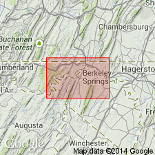
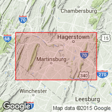
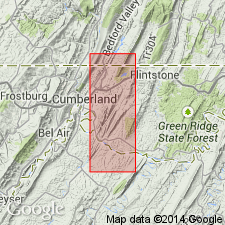
Name Parkhead sandstone member of Jennings formation introduced for fine quartz conglomerate and gray and red sandstone interbedded with buff shale exposed at Parkhead Station, Washington Co., MD. Unit is well exposed at Hancock, 7 mi west of Parkhead Station. Thickness ranges 400 to 800 ft. Occurs in middle of Jennings and is mapped in MD, WV, and PA. Contains Portage fossils. Age is Late Devonian.
Source: GNU records (USGS DDS-6; Reston GNULEX).
- Usage in publication:
-
- Parkhead sandstone
- Modifications:
-
- Revised
- AAPG geologic province:
-
- Appalachian basin
Summary:
In south-central PA, unit is referred to as Parkhead sandstone of Portage group. Occurs at top of group, above Trimmers Rock sandstone.
Source: GNU records (USGS DDS-6; Reston GNULEX).
- Usage in publication:
-
- Parkhead sandstone member
- Modifications:
-
- Overview
- AAPG geologic province:
-
- Appalachian basin
Summary:
In report area, consists of shale interbedded with massive conglomeratic sandstone. Commonly contains three conglomerate horizons in east--at base, in middle, and near top. Lower sandstone is highly fossiliferous, and upper one is very massive near Parkhead. Toward the west, sandstones grade laterally into shales that can scarcely be distinguished from overlying Woodmont shale. Underlies Chemung sandstone.
Source: GNU records (USGS DDS-6; Reston GNULEX).
- Usage in publication:
-
- Parkhead
- Modifications:
-
- Not used
- AAPG geologic province:
-
- Appalachian basin
Summary:
600 ft of strata formerly included in the Parkhead Sandstone Member are included in the Woodmont Shale in this area. Parkhead not used.
Source: GNU records (USGS DDS-6; Reston GNULEX).
For more information, please contact Nancy Stamm, Geologic Names Committee Secretary.
Asterisk (*) indicates published by U.S. Geological Survey authors.
"No current usage" (†) implies that a name has been abandoned or has fallen into disuse. Former usage and, if known, replacement name given in parentheses ( ).
Slash (/) indicates name conflicts with nomenclatural guidelines (CSN, 1933; ACSN, 1961, 1970; NACSN, 1983, 2005, 2021). May be explained within brackets ([ ]).