The National Geologic Map Database is migrating to a new infrastructure. We apologize for any service disruptions during this process.
|
|---|


- Usage in publication:
-
- Parkers formation
- Modifications:
-
- Original reference
- Dominant lithology:
-
- Shale
- Sand
- Coal
- AAPG geologic province:
-
- Illinois basin
Summary:
Pg. 131-132, 133 (fig. 2), 138. Parkers formation. Consists chiefly of shales with thin sandy beds near base, two thin coals with one near the top capped by a black sheety shale; this upper coal is the Parkers coal. Contains Rabens Branch bed (new) about 20 feet below Parkers coal and black sheety shale. Thickness 25 to 30 feet. Overlies Dicksburg Hills sandstone; underlies St. Wendells sandstone. Age is Late Pennsylvanian.
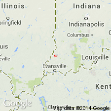
Named from Parkers Settlement in eastern Posey Co., southwestern IN, about 8 mi northwest of Evansville on State Road 66.
Name is a variation of the name Parker, used for the coal, black sheety shale, and limestone of upper part of the formation by Fuller and Clapp (1904) in Patoka folio of the USGS.
Source: US geologic names lexicon (USGS Bull. 1200, p. 2928).
For more information, please contact Nancy Stamm, Geologic Names Committee Secretary.
Asterisk (*) indicates published by U.S. Geological Survey authors.
"No current usage" (†) implies that a name has been abandoned or has fallen into disuse. Former usage and, if known, replacement name given in parentheses ( ).
Slash (/) indicates name conflicts with nomenclatural guidelines (CSN, 1933; ACSN, 1961, 1970; NACSN, 1983, 2005, 2021). May be explained within brackets ([ ]).