- Usage in publication:
-
- Panther Canyon formation*
- Modifications:
-
- Areal extent
- AAPG geologic province:
-
- Great Basin province
Summary:
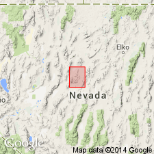
Geographically extended into the Mt. Moses quadrangle, Nevada. Total thickness is about 700 feet. Underlies Augusta Mountain formation; overlies Favret formation. Age is Middle Triassic.
Source: GNU records (USGS DDS-6; Menlo GNULEX).

- Usage in publication:
-
- Panther Canyon formation*
- Modifications:
-
- Named
- Dominant lithology:
-
- Shale
- Sandstone
- Conglomerate
- Dolomite
- AAPG geologic province:
-
- Great Basin province
Summary:
Consists of red shale, sandstone, conglomerate, and impure pink dolomite, weathering rusty brown. Thickness at type locality is 300 feet; elsewhere thins to 100 feet. Underlies Augusta Mountain formation; overlies China Mountain formation (new). Age is Middle Triassic.
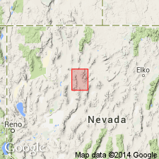
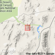
Type locality: at head of Panther Canyon, between Grass and Pumpernickel Valleys, Winnemucca 30- by 60-min quadrangle, Sonoma Range, Pershing Co., NV.
Source: GNU records (USGS DDS-6; Menlo GNULEX).

- Usage in publication:
-
- Panther Canyon Formation†
- Modifications:
-
- Abandoned
- AAPG geologic province:
-
- Great Basin province
Summary:
Rocks originally defined by Ferguson and others (1951) now recognized by Nichols (1972) and N.J. Silberling (oral commun., 1973) as identical to middle member of the Augusta Mountain Formation (Muller and others, 1951) for exposures in Augusta Mountain. Accordingly name Panther Canyon Formation is considered obsolete, its rocks being reassigned to Augusta Mountain Formation.
Source: GNU records (USGS DDS-6; Menlo GNULEX).

- Usage in publication:
-
- Panther Canyon Member*
- Modifications:
-
- Reinstated
- Revised
- Overview
- AAPG geologic province:
-
- Great Basin province
Summary:
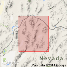
Muller and others (1951) originally divided Augusta Formation into 3 informal members but did not realize their middle member was also the Panther Canyon Formation. Panther Canyon reduced in rank to Panther Canyon Member of Augusta Mountain Formation (citing Nichols, 1974). Rocks of the Panther Canyon have been mapped as part of Prida, Favret, Natchez Pass, and Augusta Mountain Formations (Ferguson and others, 1951a, 1951b, 1952; Muller and others, 1951; Silberling and Roberts, 1962; Silberling and Wallace, 1969). [See also, Johnson (1977) where name abandoned.] In Augusta Mountain, unconformably overlies Home Station Member (new) of August Mountain Formation; in Humboldt and East Ranges, overlies upper member of the Prida Formation; at China Mountain, overlies the Fossil Hill Formation and locally overlies Koipato Group. Underlies Smelser Pass Member (new) of Augusta Mountain Formation. Age is Middle Triassic, based on stratigraphic position.
Source: Modified from GNU records (USGS DDS-6; Menlo GNULEX).
For more information, please contact Nancy Stamm, Geologic Names Committee Secretary.
Asterisk (*) indicates published by U.S. Geological Survey authors.
"No current usage" (†) implies that a name has been abandoned or has fallen into disuse. Former usage and, if known, replacement name given in parentheses ( ).
Slash (/) indicates name conflicts with nomenclatural guidelines (CSN, 1933; ACSN, 1961, 1970; NACSN, 1983, 2005, 2021). May be explained within brackets ([ ]).

