

- Usage in publication:
-
- Panola formation*
- Modifications:
-
- Named
- Dominant lithology:
-
- Sandstone
- Shale
- Limestone
- AAPG geologic province:
-
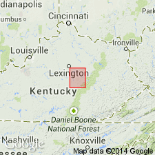
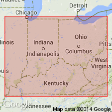
- Cincinnati arch
Summary:
Named Panola formation. Composed of sandstone, shale, and limestone. Lower part is Silurian age; upper part is Devonian age. Underlain by Richmond formation; overlain by Chattanooga Shale. [Apparently composed of entire presently recognized Silurian section and overlying Devonian Boyle Limestone.]
Source: GNU records (USGS DDS-6; Reston GNULEX).
- Usage in publication:
-
- Panola Formation†
- Modifications:
-
- Abandoned
- AAPG geologic province:
-
- Cincinnati arch
Summary:
Campbell (1898) used name Panola for all strata between top of Richmond Shale (Ordovician) and base of Chattanooga Shale (Devonian). He did not designate a type locality. Name comes from same area as type sections of Brassfield Formation and Oldham Limestone Member of Noland Formation (new) and is in area where Brassfield Formation, Noland Formation (and its named members), the Estill and the Boyle Limestone are readily recognizable. Campbell described 0 to 30 ft of coarse yellow sandstone at base of formation, which probably is the Brassfield, Plum Creek, and Oldham. His middle unit containing Niagaran fossils may be the Lulbegrud, Waco, and Estill; and the heavy bedded cherty brown Devonian limestone is the Boyle. Term Panola is herein rejected.
Source: GNU records (USGS DDS-6; Reston GNULEX).
For more information, please contact Nancy Stamm, Geologic Names Committee Secretary.
Asterisk (*) indicates published by U.S. Geological Survey authors.
"No current usage" (†) implies that a name has been abandoned or has fallen into disuse. Former usage and, if known, replacement name given in parentheses ( ).
Slash (/) indicates name conflicts with nomenclatural guidelines (CSN, 1933; ACSN, 1961, 1970; NACSN, 1983, 2005, 2021). May be explained within brackets ([ ]).