

- Usage in publication:
-
- Pamunkey formation*
- Modifications:
-
- Named
- Dominant lithology:
-
- Sand
- Clay
- AAPG geologic province:
-
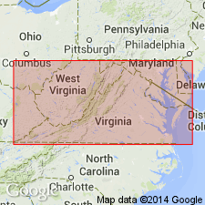
- Atlantic Coast basin
Summary:
Named the Pamunkey formation for the extensive exposures on the Pamunkey River, VA. Unit consists of a homogeneous sheet of fine-grained materials, mainly glauconitic sands, usually profusely fossiliferous. Locally includes a few beds of clay, secondary limestones, and at base some gravels. Thickness 150 feet. Unconformably underlies Chesapeake formation (group) and unconformably overlies the Cretaceous Severn formation. The Pamunkey is considered representative of the Eocene.
Source: GNU records (USGS DDS-6; Reston GNULEX).
- Usage in publication:
-
- Pamunkey group
- Modifications:
-
- Revised
- AAPG geologic province:
-
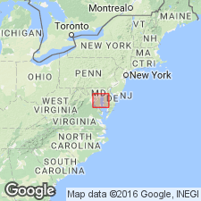
- Atlantic Coast basin
Summary:
Raised the Pamunkey to group status and divided it into the Nanjemoy formation above and the Aquia formation below. Unconformably underlies Chesapeake group and unconformably overlies Cretaceous deposits.
Source: GNU records (USGS DDS-6; Reston GNULEX).
- Usage in publication:
-
- Pamunkey Group*
- Modifications:
-
- Revised
- AAPG geologic province:
-
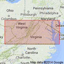
- Atlantic Coast basin
Summary:
Included the previously overlying Chickahominy Formation in the Pamunkey Group. The Chickahominy is of late Eocene age and therefore extends the age of the Pamunkey Group.
Source: GNU records (USGS DDS-6; Reston GNULEX).

- Usage in publication:
-
- Pamunkey Group
- Modifications:
-
- Overview
- AAPG geologic province:
-
- Atlantic Coast basin
Summary:
Pamunkey Group and its formations--Brightseat Formation, Aquia Formation, Marlboro Clay, Nanjemoy Formation, Piney Point Formation and Chickahominy Formation--mapped together with Old Church Formation and unnamed lower Oligocene beds as lower Tertiary deposits. Formations within Pamunkey range from early Paleocene to late Eocene.
Source: GNU records (USGS DDS-6; Reston GNULEX).
For more information, please contact Nancy Stamm, Geologic Names Committee Secretary.
Asterisk (*) indicates published by U.S. Geological Survey authors.
"No current usage" (†) implies that a name has been abandoned or has fallen into disuse. Former usage and, if known, replacement name given in parentheses ( ).
Slash (/) indicates name conflicts with nomenclatural guidelines (CSN, 1933; ACSN, 1961, 1970; NACSN, 1983, 2005, 2021). May be explained within brackets ([ ]).