The National Geologic Map Database is migrating to a new infrastructure. We apologize for any service disruptions during this process.
|
|---|


- Usage in publication:
-
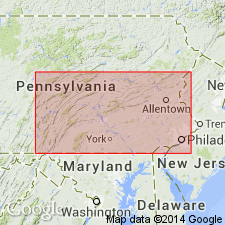
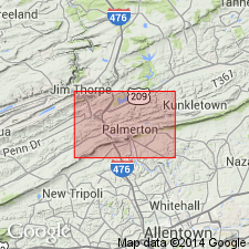
- Palmerton sandstone
- Modifications:
-
- Named
- Dominant lithology:
-
- Sandstone
- AAPG geologic province:
-
- Appalachian basin
Summary:
Named the Palmerton sandstone for Palmerton, Carbon Co., southeastern PA. Unit has been mistaken for Oriskany sandstone for many years. Overlies the Bowmanstown chert and underlies the Esopus formation. Thickness is 120 to 145 feet. The Palmerton is of Middle Devonian age.
Source: GNU records (USGS DDS-6; Reston GNULEX).
- Usage in publication:
-
- Palmerton Sandstone*
- Modifications:
-
- Overview
- AAPG geologic province:
-
- Appalachian basin
Summary:
The Palmerton Sandstone in east-central PA consists of massive, white, variably indurated, coarse- to fine-grained sandstone. The unit is characterized by its massiveness, lack of definite bedding planes and complete domination by joints. Contains some brachiopods. Thickness is about 100 feet. Overlies the Schoharie-Esopus Formation and underlies the Buttermilk Falls Limestone. The lower contact is placed at the base of the lowermost sandstone interbed in a series of four or more sandstone and siltstone interbeds. The top of the formation is placed at the top of the sandstone beneath clay.
Source: GNU records (USGS DDS-6; Reston GNULEX).
- Usage in publication:
-
- Palmerton Sandstone
- Modifications:
-
- Age modified
- AAPG geologic province:
-
- Appalachian basin
Summary:
The age of the Palmerton Sandstone in PA is shown on the geologic map of PA as Early and Middle Devonian. Overlies the Schoharie Formation and underlies the Buttermilk Falls Limestone.
Source: GNU records (USGS DDS-6; Reston GNULEX).
For more information, please contact Nancy Stamm, Geologic Names Committee Secretary.
Asterisk (*) indicates published by U.S. Geological Survey authors.
"No current usage" (†) implies that a name has been abandoned or has fallen into disuse. Former usage and, if known, replacement name given in parentheses ( ).
Slash (/) indicates name conflicts with nomenclatural guidelines (CSN, 1933; ACSN, 1961, 1970; NACSN, 1983, 2005, 2021). May be explained within brackets ([ ]).