- Usage in publication:
-
- Packard Ranch member
- Modifications:
-
- First used
- Dominant lithology:
-
- Sandstone
- AAPG geologic province:
-
- Plateau sedimentary province
- Basin-and-Range province
Summary:
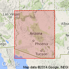
First published use of name as a member (one of 5?) of Supai formation in Sycamore Canyon and Fossil Creek areas. Sycamore Creek runs from northeast Yavapai Co, Basin-and-Range province, into adjoining Coconino Co, Plateau sedimentary province. Fossil Creek forms border between Yavapai Co and Gila Co, Basin-and-Range province. Name applied to basal sandstone of Supai above the Naco formation. Overlying unit of sandstone [equivalent?] to Oak Creek member (first used) of Supai. [No description of lithology, contacts, areal limits, or other properties of formal unit names included in this report. Name shown on cross sections and cited in text. Attributed to an unpublished thesis of Winters (1950). Name therefore NOT adequately defined for use as a stratigraphic term.] Age of member is Pennsylvanian. Does not extend into the Fort Apache area.
Source: GNU records (USGS DDS-6; Denver GNULEX).
For more information, please contact Nancy Stamm, Geologic Names Committee Secretary.
Asterisk (*) indicates published by U.S. Geological Survey authors.
"No current usage" (†) implies that a name has been abandoned or has fallen into disuse. Former usage and, if known, replacement name given in parentheses ( ).
Slash (/) indicates name conflicts with nomenclatural guidelines (CSN, 1933; ACSN, 1961, 1970; NACSN, 1983, 2005, 2021). May be explained within brackets ([ ]).

