- Usage in publication:
-
- Ozark sandstone lentil
- Modifications:
-
- First used
- Dominant lithology:
-
- Sandstone
- AAPG geologic province:
-
- Illinois basin
Summary:
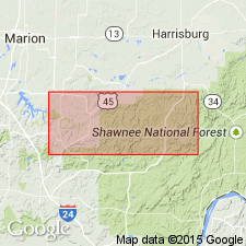
A sandstone that crops out near the head of Ozark Creek in Sec. 27, T11S, R4E and on the north sides of Cedar and Sugar Creeks in the Creal Springs quad is here informally named the Ozark sandstone lentil of the lower Abbott Formation. All sandstone lentils in the lower Abbott are white to light gray when fresh and light to medium gray when weathered. Iron-enriched zones and Liesegang bands are common. Rock is massive to thick bedded; cross-bedding and contorted laminations are common.
Source: GNU records (USGS DDS-6; Reston GNULEX).
For more information, please contact Nancy Stamm, Geologic Names Committee Secretary.
Asterisk (*) indicates published by U.S. Geological Survey authors.
"No current usage" (†) implies that a name has been abandoned or has fallen into disuse. Former usage and, if known, replacement name given in parentheses ( ).
Slash (/) indicates name conflicts with nomenclatural guidelines (CSN, 1933; ACSN, 1961, 1970; NACSN, 1983, 2005, 2021). May be explained within brackets ([ ]).

