

- Usage in publication:
-
- Oxbow Creek basalt
- Modifications:
-
- First used
- Dominant lithology:
-
- Basalt
- AAPG geologic province:
-
- Yellowstone province
Summary:
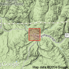
Name derived from exposures 4 mi long and half a mi wide which form a gentle, northwest sloping surface west of Oxbow Creek, northern Yellowstone Park, WY, Yellowstone province. No type locality designated. Composed of two flows separated by a red soil 1 ft thick. No detailed lithologic description given. Shows no evidence of deformation. Terminates in a scarp 15 to 20 ft high. Is younger than Crescent Hill basalt (new) and fresher than Crescent Hill. Is post-rhyolite in age. Shown on table 9 as Miocene-Pliocene. Geologic map.
Source: GNU records (USGS DDS-6; Denver GNULEX).
For more information, please contact Nancy Stamm, Geologic Names Committee Secretary.
Asterisk (*) indicates published by U.S. Geological Survey authors.
"No current usage" (†) implies that a name has been abandoned or has fallen into disuse. Former usage and, if known, replacement name given in parentheses ( ).
Slash (/) indicates name conflicts with nomenclatural guidelines (CSN, 1933; ACSN, 1961, 1970; NACSN, 1983, 2005, 2021). May be explained within brackets ([ ]).