The National Geologic Map Database is migrating to a new infrastructure. We apologize for any service disruptions during this process.
|
|---|


- Usage in publication:
-
- Owl Canyon formation
- Modifications:
-
- Named
- Dominant lithology:
-
- Sandstone
- Shale
- AAPG geologic province:
-
- Denver basin
Summary:
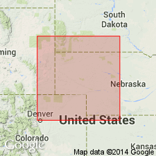
Owl Canyon formation of Cassa group. Composed of green-gray, yellow-gray to red, friable, quartzitic sandstone; red, sandy shale; and gray to red, sandy, dense, dolomitic limestone. Some cross beds in lowest sandstone bed. Thickness ranges from 90 to 275 feet; is about 240 feet thick in Owl Canyon. Not recognized in measured sections beyond Broom Creek, Platte County, Wyoming. Overlies Broom Creek group (new); underlies Lyons sandstone (revised) of Cassa group. Age is Permian. Correlated with Permian Big Blue series. Report includes measured sections.
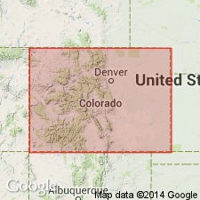
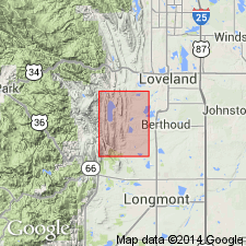
Named from exposures in lower Owl Canyon, in NW/4 sec. 6, T. 9 N., R. 69 W., and NE/4 sec. 1, T. 9 N., R. 70 W. (type locality), Larimer Co., CO, in the Denver basin.
Source: Modified from GNU records (USGS DDS-6; Denver GNULEX).
- Usage in publication:
-
- Owl Canyon Formation*
- Modifications:
-
- Overview
- AAPG geologic province:
-
- Denver basin
- Chadron arch
Summary:
Is a unit of Early Permian, Leonardian age from Owl Canyon, Larimer Co, CO in the Denver basin north and east across southeast WY to Hot Springs, Fall River Co, SD on the Chadron arch. Is the red bed section above the Ingleside Formation and the base of the Lyons Sandstone or equivalents. Correlates with Satanka Shale of south-central WY, Wellington Formation and Ninnescah Shale of KS, Sangre de Cristo Formation (part) and Yeso Formation of NM. Correlation chart. Ranges from 90 to 275 ft thick. Is 110 ft thick at type. Deposited as a tidal-flat complex with estuarine sediments.
Source: GNU records (USGS DDS-6; Denver GNULEX).
- Usage in publication:
-
- Owl Canyon Formation*
- Modifications:
-
- Overview
- Areal extent
- AAPG geologic province:
-
- Denver basin
Summary:
Occurs as red siltstone and fine-grained, red, ripple-laminated sandstone; intertongues with Ingleside Formation (Lower Permian) and not present south of Carter Lake Reservoir. At north edge of quad, formation is about 200 ft thick. Age is Early Permian. Underlies Lyons Sandstone (Lower Permian).
Source: GNU records (USGS DDS-6; Denver GNULEX).
For more information, please contact Nancy Stamm, Geologic Names Committee Secretary.
Asterisk (*) indicates published by U.S. Geological Survey authors.
"No current usage" (†) implies that a name has been abandoned or has fallen into disuse. Former usage and, if known, replacement name given in parentheses ( ).
Slash (/) indicates name conflicts with nomenclatural guidelines (CSN, 1933; ACSN, 1961, 1970; NACSN, 1983, 2005, 2021). May be explained within brackets ([ ]).