The National Geologic Map Database is migrating to a new infrastructure. We apologize for any service disruptions during this process.
|
|---|


- Usage in publication:
-
- Oumalik formation*
- Modifications:
-
- Named
- Biostratigraphic dating
- Dominant lithology:
-
- Shale
- Siltstone
- Sandstone
- AAPG geologic province:
-
- Alaska Northern region
Summary:
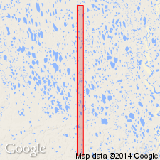
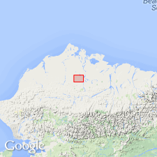
Type locality designated in Oumalik test well No.1 on Oumalik anticline about 100 mi south of Barrow, AK, 69 deg 50'18"N, 155 deg 59'24"W. Measured type section is approximately 6000 ft thick from 4860 to 10,880 ft in test well. Divided into upper shale unit (4410 ft thick) and lower sandy shale unit (1610 ft thick). Upper unit is monotonous section of clay shale, medium dark gray to dark gray, slightly micaceous, carbonaceous, and pyritic. Lower unit is 40% siltstone and sandstone in addition to clay shale as above. Sandstone and siltstone are medium light gray, hard, massive, silty, and very fine to fine grained. Oumalik thins rapidly northward. Is gradational into overlying Topagoruk formation in vicinity of type locality, angular unconformity between two formations in other areas. Unconformably (?) overlies Lower Cretaceous(?) and Upper Jurassic(?) rocks undifferentiated. Contains meager microfauna but has diagnostic pyritic radiolarian LITHOCAMPE? sp. Age is Early Cretaceous.
Source: GNU records (USGS DDS-6; Menlo GNULEX).
- Usage in publication:
-
- Oumalik formation*
- Modifications:
-
- Areal extent
- AAPG geologic province:
-
- Alaska Northern region
Summary:
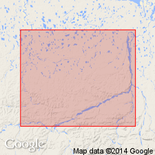
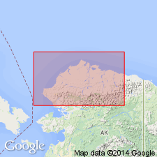
Oumalik formation described in Oumalik test well No.1 and in East Oumalik test well No.1.
Source: GNU records (USGS DDS-6; Menlo GNULEX).
- Usage in publication:
-
- Oumalik Formation
- Modifications:
-
- Not used
- AAPG geologic province:
-
- Alaska Northern region
Summary:
In area of Umiat-Maybe Creek region, rocks equivalent to subsurface Oumalik and Topagoruk Formations of Robinson and others (1956) are included in Torok Formation.
Source: GNU records (USGS DDS-6; Menlo GNULEX).
- Usage in publication:
-
- Oumalik Formation†
- Modifications:
-
- Abandoned
- AAPG geologic province:
-
- Alaska Northern region
Summary:
Because Oumalik Formation is now recognized as Torok Formation and Topagoruk is part of highly-transgressive transition zone between Torok Formation and Nanushuk Group, names Oumalik and Topagoruk Formations are abandoned.
Source: GNU records (USGS DDS-6; Menlo GNULEX).
For more information, please contact Nancy Stamm, Geologic Names Committee Secretary.
Asterisk (*) indicates published by U.S. Geological Survey authors.
"No current usage" (†) implies that a name has been abandoned or has fallen into disuse. Former usage and, if known, replacement name given in parentheses ( ).
Slash (/) indicates name conflicts with nomenclatural guidelines (CSN, 1933; ACSN, 1961, 1970; NACSN, 1983, 2005, 2021). May be explained within brackets ([ ]).