The National Geologic Map Database is migrating to a new infrastructure. We apologize for any service disruptions during this process.
|
|---|


- Usage in publication:
-
- Ottawanah Rhyolite*
- Modifications:
-
- Named
- Geochronologic dating
- Dominant lithology:
-
- Tuff
- AAPG geologic province:
-
- Great Basin province
Summary:
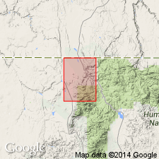
Unit is named the Ottawanah Rhyolite. Consists of welded tuffs with abundant phenocrysts. Locally opalized, bleached, and iron stained. Thickness is up to 400 ft. Unconformably overlies the andesite of Summit Creek; unconformably underlies the volcanic and sedimentary rocks of Jones Creek or younger formations. Age is Eocene or Oligocene based on radiometric (K-Ar; sanidine and biotite) age of 39.6 +/-2.0 Ma. (B1520)
Source: GNU records (USGS DDS-6; Menlo GNULEX).
For more information, please contact Nancy Stamm, Geologic Names Committee Secretary.
Asterisk (*) indicates published by U.S. Geological Survey authors.
"No current usage" (†) implies that a name has been abandoned or has fallen into disuse. Former usage and, if known, replacement name given in parentheses ( ).
Slash (/) indicates name conflicts with nomenclatural guidelines (CSN, 1933; ACSN, 1961, 1970; NACSN, 1983, 2005, 2021). May be explained within brackets ([ ]).