- Usage in publication:
-
- Ottauquechee Formation*
- Modifications:
-
- Areal extent
- AAPG geologic province:
-
- New England province
Summary:
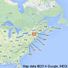
In Glens Falls quad, rocks of eastern Green Mountain terrane, east of Richardson Memorial Contact (an eastward-facing unconformity or possibly a tectonic contact) include the Hoosac, Pinney Hollow, Ottauquechee, and Stowe Formations (of probable Cambrian through Early Ordovician age), Moretown Formation (probably Ordovician), and Barnard Volcanic Member of Missisquoi Formation [unclear as to its stratigraphic position or age here]. West of Richardson Memorial Contact, rocks include conglomeratic units such as Tyson Formation as used by Doll and others (1961) [no age provided, but presumably Cambrian].
Source: GNU records (USGS DDS-6; Reston GNULEX).

- Usage in publication:
-
- Ottauquechee Formation
- Modifications:
-
- Revised
- AAPG geologic province:
-
- New England province
Summary:
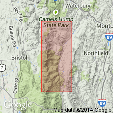
The Ottauquechee contains two major units: A black phyllite and the Thatcher Brook Member. The black phyllite contains a previously unreported sub-unit of gray carbonate schist. The Thatcher Brook Member (named in an abstract by Armstrong and others, 1988) is a carbonaceous albitic schist with greenstones and ultramafics. These rocks have previously been included in the Ottauquechee but have never been differentiated from the black phyllite. Member is in fault contact with the silvery green schist of the Pinney Hollow Formation to the west. Age is Cambrian.
Source: GNU records (USGS DDS-6; Reston GNULEX).

- Usage in publication:
-
- Ottauquechee Formation
- Modifications:
-
- Not used
- AAPG geologic province:
-
- New England province
Summary:
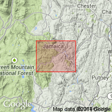
Cover rocks east of and above Hoosac Formation were mapped by Doll and others (1961, State bedrock geologic map) as an eastward-topping section consisting of Pinney Hollow, Ottauquechee, and Stowe Formations. In adjacent MA, Hatch and others (1966) and Chidester and others (1967) were unable to map sequence because of both lateral and vertical variation of rock types in the belt. They chose not to use the VT nomenclature and applied the name Rowe Schist for all rocks between top of Hoosac and first beds of Moretown Formation. Pinney Hollow, Ottauquechee, and Stowe are not used in this report area because of heterogeneous discontinuous nature of those formations in this belt and uncertainty of correlation of the formations to their type sections 50 to 100 km to the north. Rowe Schist is used instead.
Source: GNU records (USGS DDS-6; Reston GNULEX).
For more information, please contact Nancy Stamm, Geologic Names Committee Secretary.
Asterisk (*) indicates published by U.S. Geological Survey authors.
"No current usage" (†) implies that a name has been abandoned or has fallen into disuse. Former usage and, if known, replacement name given in parentheses ( ).
Slash (/) indicates name conflicts with nomenclatural guidelines (CSN, 1933; ACSN, 1961, 1970; NACSN, 1983, 2005, 2021). May be explained within brackets ([ ]).

