

- Usage in publication:
-
- Otero Granite*
- Modifications:
-
- First used
- Dominant lithology:
-
- Granite
- AAPG geologic province:
-
- Basin-and-Range province
Summary:
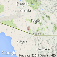
Considered by authors to be "of local usage" [meaning of phrase not clear]. Name applied previously in an unpublished thesis by Donald (1958). This report represents the first published use of name. Intent to name, source of geographic name, designation of a type area not stated. Mapped (geologic map) on both sides of Sabino Canyon in Ts18 and 19S, R8E, Pima Co, NM, Basin-and-Range province. west of the Otero Ranch. Is a gray medium-grained quartz-biotite porphyritic "rock" [granite]. Separated from the lower conglomerate member of the Pitoikam Formation (named) by a zone of brecciated alaskite. Assumed to be Mesozoic age, though age uncertain.
Source: GNU records (USGS DDS-6; Denver GNULEX).
For more information, please contact Nancy Stamm, Geologic Names Committee Secretary.
Asterisk (*) indicates published by U.S. Geological Survey authors.
"No current usage" (†) implies that a name has been abandoned or has fallen into disuse. Former usage and, if known, replacement name given in parentheses ( ).
Slash (/) indicates name conflicts with nomenclatural guidelines (CSN, 1933; ACSN, 1961, 1970; NACSN, 1983, 2005, 2021). May be explained within brackets ([ ]).