

- Usage in publication:
-
- Otero Mesa member*
- Modifications:
-
- Named
- Dominant lithology:
-
- Shale
- Sandstone
- AAPG geologic province:
-
- Orogrande basin
Summary:
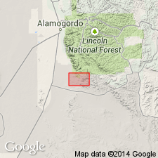
Named as a member of Yeso formation for exposures at base of Otero Mesa. Type section is S1/2 sec 17, T21S, R11E, Otero Co, NM in Orogrande basin where it consists of 168 ft of red to maroon shale and resistant ledges of reddish-brown to tan cross-laminated sandstone. Lies conformably on an unnamed unit of Yeso that is composed of gypsum, gray shale, and thin-bedded dolomite about 50 ft thick; overlain by an unnamed unit of Yeso that is composed of gypsum, pink shale, and fine-grained sandstone. Is probably older than Deer Mountain red shale member of Hueco limestone in Hueco Mountains. Is of Early Permian, Leonard age. Rocks now assigned to member were formerly considered by some as Abo sandstone.
Source: GNU records (USGS DDS-6; Denver GNULEX).
For more information, please contact Nancy Stamm, Geologic Names Committee Secretary.
Asterisk (*) indicates published by U.S. Geological Survey authors.
"No current usage" (†) implies that a name has been abandoned or has fallen into disuse. Former usage and, if known, replacement name given in parentheses ( ).
Slash (/) indicates name conflicts with nomenclatural guidelines (CSN, 1933; ACSN, 1961, 1970; NACSN, 1983, 2005, 2021). May be explained within brackets ([ ]).