- Usage in publication:
-
- Ortley unit
- Modifications:
-
- [Informally named]
- AAPG geologic province:
-
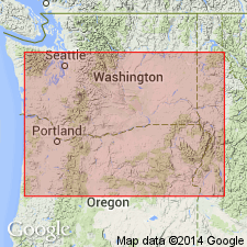
- Eastern Columbia basin
Summary:
Pg. 23 (fig. 1), 39 (table 2), 45-46. Ortley unit (informal) in Grande Ronde Basalt of Columbia River Basalt Group. Consists of about 12 flows; typically glassy to fine-grained, aphyric, and displays entablature/colonnade jointing. Has normal magnetic polarity (in N2 magnetostratigraphic unit). Lies above and interfingers with Armstrong Canyon unit (informal) and lies below and interfingers with Umtanum unit (informal); both in Grande Ronde Basalt. Age is middle Miocene.
Named from excellent exposures on WA side of Columbia River near Columbia Hills water gap commonly known as the Ortley anticline.
Reference localities: (1) Columbia Hills water gap (Ortley anticline), [north of] WA State Route 14, in secs. 5 and 6, T. 2 N., R. 13 E., The Dalles North 7.5-min quadrangle, [Klickitat Co., southernmost WA]; and (2) Bingen, WA, along WA State Route 14, in secs. 32, 33, and 34, T. 3 N., R. 11 E., White Salmon 15-min quadrangle, [Klickitat Co., southernmost WA].
[Additional locality information from USGS historical topographic map collection TopoView; accessed September 16, 2013.]
Source: Publication.
For more information, please contact Nancy Stamm, Geologic Names Committee Secretary.
Asterisk (*) indicates published by U.S. Geological Survey authors.
"No current usage" (†) implies that a name has been abandoned or has fallen into disuse. Former usage and, if known, replacement name given in parentheses ( ).
Slash (/) indicates name conflicts with nomenclatural guidelines (CSN, 1933; ACSN, 1961, 1970; NACSN, 1983, 2005, 2021). May be explained within brackets ([ ]).

