- Usage in publication:
-
- Organ Rock tongue*
- Modifications:
-
- Named
- Dominant lithology:
-
- Shale
- Sandstone
- AAPG geologic province:
-
- Paradox basin
Summary:
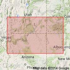
Named as a tongue in the Cutler formation for a natural monument known as Organ Rock, south of the San Juan River between Moonlight and Copper Creeks, Monument Valley area, San Juan Co, UT in the Paradox basin. No type locality designated. Overlies and intertongues with Cedar Mesa sandstone member (new) of Cutler. Underlies and intertongues with De Chelly sandstone member (restricted to southern part of San Juan Co) of Cutler. Grades eastward into undifferentiated Cutler. Where De Chelly is missing, Organ Rock and Hoskinnini form one red-bed unit. Is 380 ft thick at mouth of Nokai Creek. Thickens eastward to 550 ft. Consists of regularly bedded sandy shale and sandstone that weather into fluted vertical faces. Fossil plants (WALCHIA PINIFORMIS, YAKIA HETEROPHYLLA) found near top at AZ-UT state line. Invertebrate fossils found near base on Moonlight Creek. Assigned to Kaibab and to Moenkopi in earlier reports. Permian age. Cross sections. Correlation chart.
Source: GNU records (USGS DDS-6; Denver GNULEX).

- Usage in publication:
-
- Organ Rock Shale
- Modifications:
-
- Revised
- AAPG geologic province:
-
- Paradox basin
- Black Mesa basin
- San Juan basin
Summary:
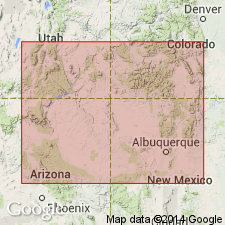
Revised in stratigraphic rank from Organ Rock Tongue of Cutler Formation to Organ Rock Shale of Cutler Group. Overlies Cedar Mesa Sandstone (rank raised) of Cutler. Underlies De Chelly Sandstone (rank raised) of Cutler. Represents the fine-grained extension of the upper part of the Cutler. Consists of red to red-brown shale, siltstone, and sandstone. Recognized in block diagram in Paradox basin of UT Black Mesa basin of AZ, and San Juan basin of NM. Readily distinguished from underlying and overlying units by its color. Grades south into upper part of Supai Formation. Is not recognized on Defiance uplift or in Zuni Mountains. Hermit Shale of Grand Canyon area may be an extension of Organ Rock. Its wide distribution and uniformity suggest deposition on a broad coastal plain. Exact age not known; Wolfcamp-Leonard boundary arbitrarily placed at top. Correlation chart. Isopach map.
Source: GNU records (USGS DDS-6; Denver GNULEX).
For more information, please contact Nancy Stamm, Geologic Names Committee Secretary.
Asterisk (*) indicates published by U.S. Geological Survey authors.
"No current usage" (†) implies that a name has been abandoned or has fallen into disuse. Former usage and, if known, replacement name given in parentheses ( ).
Slash (/) indicates name conflicts with nomenclatural guidelines (CSN, 1933; ACSN, 1961, 1970; NACSN, 1983, 2005, 2021). May be explained within brackets ([ ]).

