The National Geologic Map Database is migrating to a new infrastructure. We apologize for any service disruptions during this process.
|
|---|


- Usage in publication:
-
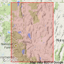
- Oreanna Bed
- Modifications:
-
- Named
- AAPG geologic province:
-
- Great Basin province
Summary:
Unit is named the Oreanna Bed. Is exposed between Rye Patch Dam and Oreanna on the Humboldt River, Lake Lahontan area, NV. Is attributed to a source at the Island Park Caldera of northeastern ID because it is chemically and petrographically similar to Pearlette ash beds O and B, which are correlative with welded tuffs of the Yellowstone Group in Yellowstone Park. Age is Pleistocene, 600 ka. (B1565)
Source: GNU records (USGS DDS-6; Menlo GNULEX).
For more information, please contact Nancy Stamm, Geologic Names Committee Secretary.
Asterisk (*) indicates published by U.S. Geological Survey authors.
"No current usage" (†) implies that a name has been abandoned or has fallen into disuse. Former usage and, if known, replacement name given in parentheses ( ).
Slash (/) indicates name conflicts with nomenclatural guidelines (CSN, 1933; ACSN, 1961, 1970; NACSN, 1983, 2005, 2021). May be explained within brackets ([ ]).