The National Geologic Map Database is migrating to a new infrastructure. We apologize for any service disruptions during this process.
|
|---|


- Usage in publication:
-
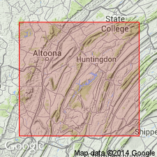
- Ore Hill limestone member*
- Modifications:
-
- Named
- Dominant lithology:
-
- Limestone
- AAPG geologic province:
-
- Appalachian basin
Summary:
Named for mining town of Ore Hill, south of Roaring Spring, Blair County, Pennsylvania. Type section is in a quarry a mile south of Ore Hill. Consists of thin-bedded, blue limestone. Contains trilobites. Is considered a member within the middle part of Gatesburg formation. Age is Ozarkian (Cambrian or Ordovician). Publication contains stratigraphic column.
Source: GNU records (USGS DDS-6; Reston GNULEX).
- Usage in publication:
-
- Ore Hill limestone member
- Modifications:
-
- Revised
- Dominant lithology:
-
- Limestone
- Dolomite
Summary:
Redefined to include nonarenaceous dark crystalline dolomite of Gatesburg found at stratigraphic position of Butts' Ore Hill limestone from Williamsburg, PA, northward through Tyrone and Bellefonte quadrangles. Thickness 130-213 feet. Separated from overlying Mines dolomite member by interval, 650 to 700 feet thick, referred to as upper sandy Gatesburg member, and from underlying Stacy dolomite member by 400-foot interval referred to as lower sandy Gatesburg member.
Source: GNU records (USGS DDS-6; Reston GNULEX).
- Usage in publication:
-
- Ore Hill Limestone Member*
- Modifications:
-
- Areal extent
- AAPG geologic province:
-
- Appalachian basin
Summary:
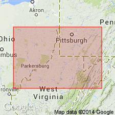
In cross section D-D', Gatesburg Formation in subsurface of northeastern WV includes lower sandy member, middle dolomite member, Ore Hill Limestone Member, upper sandy member, and Mines Dolomite Member. On the basis of lithologic similarity, Gatesburg and its lower sandy member, Ore Hill Limestone Member, upper sandy member, and Mines Dolomite Member are extended into the subsurface of adjoining northern VA.
Source: GNU records (USGS DDS-6; Reston GNULEX).
For more information, please contact Nancy Stamm, Geologic Names Committee Secretary.
Asterisk (*) indicates published by U.S. Geological Survey authors.
"No current usage" (†) implies that a name has been abandoned or has fallen into disuse. Former usage and, if known, replacement name given in parentheses ( ).
Slash (/) indicates name conflicts with nomenclatural guidelines (CSN, 1933; ACSN, 1961, 1970; NACSN, 1983, 2005, 2021). May be explained within brackets ([ ]).