The National Geologic Map Database is migrating to a new infrastructure. We apologize for any service disruptions during this process.
|
|---|


- Usage in publication:
-
- Oologah formation
- Modifications:
-
- Contact revised
- AAPG geologic province:
-
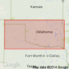
- Chautauqua platform
Summary:
Overlies Labette shales of Tulsa group. Is one of four formations assigned to Tulsa group. Upper contact revised in that Oologah formation of Tulsa group underlies the newly named Nowata shales, upper formation of Tulsa group. Occupies a belt south of the KS State line about 10 mi wide in OK on the Chautauqua platform. Extends south from state line to Verdigris River northeast of Nowata. Is 80 to 145 ft thick in area. Consists of blue cherty limestone separated by bands of black shale. The shale thickens northward. Measured section. Stratigraphic chart. Pennsylvanian age.
Source: GNU records (USGS DDS-6; Denver GNULEX).
For more information, please contact Nancy Stamm, Geologic Names Committee Secretary.
Asterisk (*) indicates published by U.S. Geological Survey authors.
"No current usage" (†) implies that a name has been abandoned or has fallen into disuse. Former usage and, if known, replacement name given in parentheses ( ).
Slash (/) indicates name conflicts with nomenclatural guidelines (CSN, 1933; ACSN, 1961, 1970; NACSN, 1983, 2005, 2021). May be explained within brackets ([ ]).