- Usage in publication:
-
- Olmos formation*
- Modifications:
-
- Named
- Dominant lithology:
-
- Clay
- Sandstone
- Coal
- Lignite
- AAPG geologic province:
-
- Gulf Coast basin
Summary:
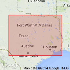
Is Upper Cretaceous formation (in Gulf Coast basin) named from the flag station of Olmos, Maverick Co, TX, located on the outcrop of the formation and from Olmos Creek (now generally called by its English equivalent, Elm Creek), which follows the strike of the formation near the center of the outcrop belt from a point 7 or 8 mi north of Eagle Pass to the junction of the creek with the Rio Grande. Type locality not specifically designated. Previously known as the "coal series." Overlies San Miguel formation and is overlain by Escondido formation; is probably an unconformity at both the base and the top. Consists of greenish-gray shaly clay and finely sandy clay, irregularly interbedded with fine to coarse, greenish-gray, thin-bedded to massive, more or less cross-bedded to soft to hard sandstone, some layers of which are ripple-marked, and with seams of coal and lignite. Thickness ranges from a feather edge (in the north) to 400 or 450 ft. Is a nonmarine unit that partly fills the stratigraphic gap represented by an unconformity between the Anacacho limestone and Escondido formation to the north. Is shown (pl. 1) to pinch out northward between Rio Grande and Anacacho Mountain. Age is Late Cretaceous.
Source: GNU records (USGS DDS-6; Denver GNULEX).

- Usage in publication:
-
- Olmos formation*
- Modifications:
-
- Overview
- AAPG geologic province:
-
- Gulf Coast basin
Summary:
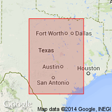
Is lower formation of two in Navarro group of Gulf series at longitude of Eagle Pass, TX (Gulf Coast basin). Unconformably overlies San Miguel formation. Unconformably overlain by Escondido formation of Navarro group. Is shown (pl. 1) to correlate in whole or in part with the following: Fox Hills sandstone, Aguja formation, Corsicana marl, Nacatoch sand, McNairy sand member of Ripley formation, Arkadelphia marl, Owl Creek formation, Prairie Bluff chalk, Providence sand, Peedee formation, Monmouth formation, Navesink marl, and Red Bank sand. Age is Maestrichtian, Late Cretaceous.
Source: GNU records (USGS DDS-6; Denver GNULEX).

- Usage in publication:
-
- Olmos Formation
- Modifications:
-
- Mapped 1:250k
- Dominant lithology:
-
- Clay
- Sandstone
- Coal
- AAPG geologic province:
-
- Gulf Coast basin
Summary:
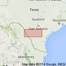
Olmos Formation. Clay, sandstone, and coal; irregularly stratified, interfingering lenses of sandstone and clay, ferruginous concretions and silicified wood common; chief coal seam about 6 feet thick; poorly exposed. Thickness 400 to 500 feet. Lies above San Miguel Formation and below Escondido Formation. Age is Late Cretaceous.
[Mapped in central Maverick Co., southwestern TX.]
Source: Publication.

- Usage in publication:
-
- Olmos Formation
- Modifications:
-
- Areal extent
- Mapped 1:250k
- AAPG geologic province:
-
- Gulf Coast basin
Summary:
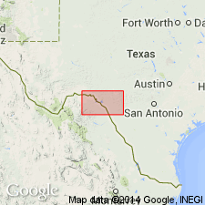
Is Upper Cretaceous formation mapped in northern Maverick Co, TX in Gulf Coast basin. Overlies San Miguel Formation; underlies Escondido Formation. Map unit described as clay, sandstone, coal, and fire clay; irregularly stratified, interfingering lenses of sandstone and clay, ferruginous concretions and silicified wood common; thickness up to 500 ft, feathers out eastward. Is not mapped northeastwardly beyond Chaparrosa Creek in northeast corner of Maverick Co, nor into adjoining Kinney, Uvalde, and Zavala Cos, TX. [In map explanation, is schematically depicted to pinch out above Anacacho Limestone; however, mapped relationships do not illustrate this interpretation.]
Source: GNU records (USGS DDS-6; Denver GNULEX).
For more information, please contact Nancy Stamm, Geologic Names Committee Secretary.
Asterisk (*) indicates published by U.S. Geological Survey authors.
"No current usage" (†) implies that a name has been abandoned or has fallen into disuse. Former usage and, if known, replacement name given in parentheses ( ).
Slash (/) indicates name conflicts with nomenclatural guidelines (CSN, 1933; ACSN, 1961, 1970; NACSN, 1983, 2005, 2021). May be explained within brackets ([ ]).

