- Usage in publication:
-
- Oldsmar limestone
- Modifications:
-
- Named
- Dominant lithology:
-
- Limestone
- AAPG geologic province:
-
- Florida platform
- South Georgia sedimentary province
Summary:
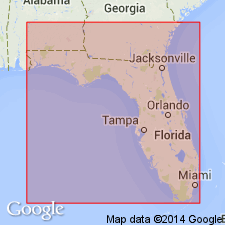
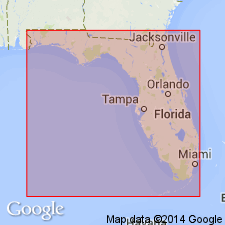
Named the Oldsmar limestone for the Oldsmar well, Hillsborough Co., FL. Unit is a limestone facies that is defined to include an interval marked at the top by abundant specimens of HELICOSTEGINA GYRALIS and that overlies the Cedar Keys limestone. Lithologically, the Oldsmar is similar to the overlying Lake City limestone. The Oldsmar is 925 feet thick in the type well, 1200 feet thick in Monroe Co., and 740 feet thick in Levy Co., FL. The Oldsmar limestone is of early Eocene age.
Source: GNU records (USGS DDS-6; Reston GNULEX).
- Usage in publication:
-
- Oldsmar Formation
- Modifications:
-
- Revised
- AAPG geologic province:
-
- South Georgia sedimentary province
- Florida platform
Summary:
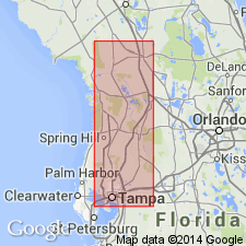
Revised the Oldsmar to the Oldsmar Formation because majority of formation is dolomite. Co-type well described because original well is in poor condition. Unit overlies the Paleocene Cedar Keys Formation and underlies the Eocene Lake City Formation. The Oldsmar is of Eocene age.
Source: GNU records (USGS DDS-6; Reston GNULEX).
- Usage in publication:
-
- Oldsmar Limestone
- Modifications:
-
- Overview
- AAPG geologic province:
-
- Florida platform
Summary:
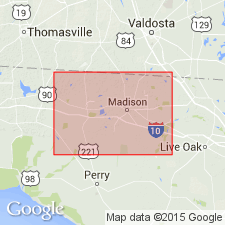
In Madison Co., the Oldsmar Limestone was penetrated by five oil test wells at depths ranging from 793 to 1,137 ft below MSL. The lower section of the unit in the eastern panhandle is a fine grained, skeletal carbonate. This lithology changes upward to a chalky white to tan or cream colored carbonate. Oldsmar is thicker than the underlying Cedar Keys Formation. It ranges in report area from 200 ft to more than 500 ft. Oldsmar unconformably overlies the lower Eocene Cedar Keys and unconformably(?) underlies the middle Eocene Avon Park Formation. Age of the Oldsmar is early and middle Eocene.
Source: GNU records (USGS DDS-6; Reston GNULEX).
- Usage in publication:
-
- Oldsmar Formation
- Modifications:
-
- Areal extent
- Overview
- AAPG geologic province:
-
- Florida platform
Summary:
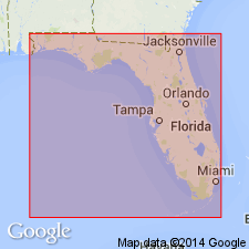
In the co-type well designated by Winston (1977), unit consists of white, chalky limestone, light-colored skeletal packstone and wackestone, and a basal euhedral brown dolomite. It can be identified only in the northwestern portion of the FL peninsula. There is a similar interval along the central east coast, but it is not a direct equivalent. Underlies the Avon Park Formation and overlies the Cedar Keys Formation.
Source: GNU records (USGS DDS-6; Reston GNULEX).
- Usage in publication:
-
- Oldsmar Formation
- Modifications:
-
- Overview
- AAPG geologic province:
-
- Florida platform
Summary:
Oldsmar Formation, basal unit of the Black Point Format, an informal term used to refer to the carbonate interval between the top of the Cedar Keys Formation and the base of the Hawthorn, is correlative with the newly named Delray Formation of the FL peninsula.
Source: GNU records (USGS DDS-6; Reston GNULEX).
For more information, please contact Nancy Stamm, Geologic Names Committee Secretary.
Asterisk (*) indicates published by U.S. Geological Survey authors.
"No current usage" (†) implies that a name has been abandoned or has fallen into disuse. Former usage and, if known, replacement name given in parentheses ( ).
Slash (/) indicates name conflicts with nomenclatural guidelines (CSN, 1933; ACSN, 1961, 1970; NACSN, 1983, 2005, 2021). May be explained within brackets ([ ]).

