

- Usage in publication:
-
- Oklune series*
- Modifications:
-
- Named
- Biostratigraphic dating
- Dominant lithology:
-
- Shale
- Limestone
- Arkose
- Tuff
- AAPG geologic province:
-
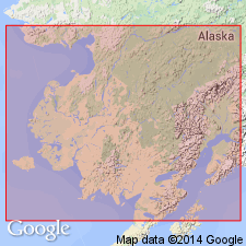
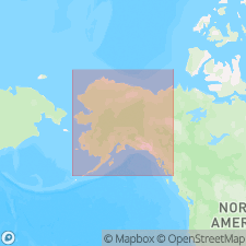
- Alaska Southwestern region
Summary:
Occurs where Kanektok River emerges from Oklune [later Ahklun] Mountains and along Kanetok on west side of the mountains. Exposed between Kwinkagamut and Nushagak Bay, southwestern AK. Consists of shales, impure limestones, granites, arkoses, abundant volcanic rocks of ancient appearance which are interstratified with sedimentary beds and associated tuffs. Rocks are characteristically folded. Intruded by dikes. Upper and lower limits of series not determined since area is bounded on east and west by Pleistocene silts and gravels. Age is provisionally classified as Cretaceous based in part on AUCELLA CRASSICOLLIS Keyserling (?) identified by T.W. Stanton.
Source: GNU records (USGS DDS-6; Menlo GNULEX).
- Usage in publication:
-
- "Oklune series"†
- Modifications:
-
- Abandoned
- AAPG geologic province:
-
- Alaska Southwestern region
Martin, G.C., 1926, Mesozoic stratigraphy of Alaska: U.S. Geological Survey Bulletin, 776, 493 p.
Summary:
"Oklune series" of Spurr (1900) constituted a heterogeneous assemblage of rocks having wide stratigraphic range. Volcanic member may perhaps be correlated with late Carboniferous or early Mesozoic tuff on Kuskokwim and in part with Tertiary rocks of lower Yukon. Possibly only small part of "Oklune series" is Early Cretaceous. [Name "Oklune series" thus abandoned.]
Source: GNU records (USGS DDS-6; Menlo GNULEX).
For more information, please contact Nancy Stamm, Geologic Names Committee Secretary.
Asterisk (*) indicates published by U.S. Geological Survey authors.
"No current usage" (†) implies that a name has been abandoned or has fallen into disuse. Former usage and, if known, replacement name given in parentheses ( ).
Slash (/) indicates name conflicts with nomenclatural guidelines (CSN, 1933; ACSN, 1961, 1970; NACSN, 1983, 2005, 2021). May be explained within brackets ([ ]).