

- Usage in publication:
-
- Okay limestone lentil
- Modifications:
-
- Named
- Dominant lithology:
-
- Limestone
- AAPG geologic province:
-
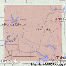
- Chautauqua platform
Summary:
Named from good exposures on and in the neighborhood of O. K. ranch, sec 31, T25N, R9E, Osage Co, OK, Chautauqua platform. Extends to the southern line of T24N; does not crop out north of Clear Creek in T25N. No type locality designated. Is the lowest limestone in the Pawhuska formation (revised); lies about 10 ft above the highest bed of the Elgin sandstone; lies 50-100 ft below the Deer Creek member of the Pawhuska. Is a thin limestone ranging in color from gray to buff with the buff color predominating. In most places, is of flinty hardness and contains abundant small FUSULINA; however, either or both of these features may be locally absent. Stratigraphic sections. Of upper [Late] Pennsylvanian age.
Source: GNU records (USGS DDS-6; Denver GNULEX).
For more information, please contact Nancy Stamm, Geologic Names Committee Secretary.
Asterisk (*) indicates published by U.S. Geological Survey authors.
"No current usage" (†) implies that a name has been abandoned or has fallen into disuse. Former usage and, if known, replacement name given in parentheses ( ).
Slash (/) indicates name conflicts with nomenclatural guidelines (CSN, 1933; ACSN, 1961, 1970; NACSN, 1983, 2005, 2021). May be explained within brackets ([ ]).