- Usage in publication:
-
- Ohio Creek beds*
- Modifications:
-
- Original reference
- Dominant lithology:
-
- Conglomerate
- Sandstone
- AAPG geologic province:
-
- Piceance basin
Summary:
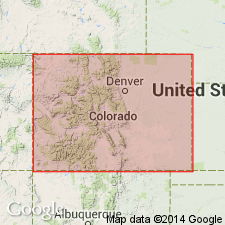
Pg. 21-23. Ohio Creek beds. Two small isolated patches of loose friable sandstones, grits, and fine conglomerates, resting on coal measures of Laramie formation and seemingly in small basins of erosion. The chert pebbles contain crinoid stems and other apparently Carboniferous fossils of identical character with those frequently found in basal conglomerate of Ruby beds near Irwin. These facts suggest the chert pebbles of Ruby conglomerate may be the residuum from destruction of Ohio Creek beds formerly existing to north of Anthracite Range. No fossils except carbonized plants. Lithologic and stratigraphic evidence suggests it may possibly represent Arapahoe formation and that Ruby beds may represent Denver formation. Rests unconformably on Laramie formation. [Age is Eocene.]
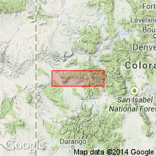
[Mapped along Ohio Creek, Anthracite 15-min quadrangle, Gunnison Co., western central CO (see Emmons and others, 1894, USGS Geol. Atlas of the US, Anthracite-Crested Butte folio, no. 9).]
Source: US geologic names lexicon (USGS Bull. 896, p. 1534-1535).

- Usage in publication:
-
- Ohio Creek conglomerate*
- Modifications:
-
- Redescribed
- Dominant lithology:
-
- Sandstone
- AAPG geologic province:
-
- Piceance basin
Summary:
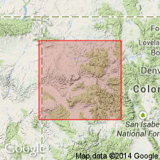
Pg. 18, 48-49. Ohio Creek conglomerate. In Grand Mesa and West Elk Mountain coal fields consists of 100 to 200 feet of white friable conglomeratic sandstone containing pebbles of quartz, jasper, and igneous rock. Unconformably overlies Mesaverde formation and unconformably underlies Wasatch ("Ruby") formation. May be of Fort Union age. [Eocene.]
[Area of study in Gunnison Co., western central CO.]
Source: US geologic names lexicon (USGS Bull. 896, p. 1534-1535).

- Usage in publication:
-
- Ohio Creek Formation*
- Modifications:
-
- Redescribed
- AAPG geologic province:
-
- Piceance basin
- Eagle basin
Summary:
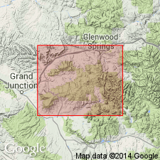
Named changed from Ohio Creek Conglomerate to Ohio Creek Formation in outcrops in Garfield, Mesa, Delta, and Gunnison Cos., CO in the Piceance basin, and in Pitkin Co., CO in the Eagle basin. Ohio Creek used in this report includes a conglomeratic sandstone formerly mapped as part of Mesaverde Formation. Paleocene age assignment based on presence of fossil flora near base of conglomeratic sandstone.
Source: GNU records (USGS DDS-6; Denver GNULEX).

- Usage in publication:
-
- Ohio Creek Member*
- Modifications:
-
- Principal reference
- Revised
- Dominant lithology:
-
- Sandstone
- Conglomerate
- AAPG geologic province:
-
- Piceance basin
Summary:
Reduced in stratigraphic rank to a member of Mesaverde Formation at its type locality on Ohio Creek, Gunnison Co, CO, southwest side of Piceance basin, or to a member of Hunter Canyon Formation of Mesaverde Group at Hunter Canyon, Ts8 and 9S, R100W, Mesa Co, CO, southwest side of Piceance basin. [Piceance Creek basin is part of the larger Piceance structural basin]. Is 70 m thick at type locality. Hunter Canyon measured section designated the principal reference section where top is defined by the unconformity and base defined by base of lowest white sandstone. Is restricted to the resistant white (due to presence of kaolin), medium to coarse-grained, friable sandstone. Has lenses of chert pebbles scattered throughout the upper 410 m but are most abundant in the upper 150 m. The white color and the conglomerate do not always occur together. Lies beneath a major regional unconformity which represents a time gap (part of Campanian, Maestrichtian, and Paleocene) on south part of basin. Overlain by a Paleocene part of Wasatch Formation. Assigned a Late Cretaceous, Campanian and Maestrichtian age depending on locality on basis of fossil pollen.
Source: GNU records (USGS DDS-6; Denver GNULEX).
For more information, please contact Nancy Stamm, Geologic Names Committee Secretary.
Asterisk (*) indicates published by U.S. Geological Survey authors.
"No current usage" (†) implies that a name has been abandoned or has fallen into disuse. Former usage and, if known, replacement name given in parentheses ( ).
Slash (/) indicates name conflicts with nomenclatural guidelines (CSN, 1933; ACSN, 1961, 1970; NACSN, 1983, 2005, 2021). May be explained within brackets ([ ]).

