The National Geologic Map Database is migrating to a new infrastructure. We apologize for any service disruptions during this process.
|
|---|


- Usage in publication:
-
- Ogilvie Formation
- Modifications:
-
- Overview
- AAPG geologic province:
-
- Yukon-Porcupine province
Summary:
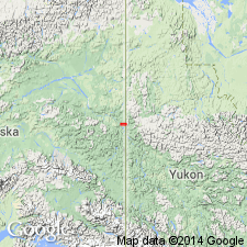
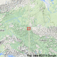
Pg. 19, 20 (fig. 1). Ogilvie Formation. Discussion of fossils found in the Ogilvie in the Charley River quadrangle, east-central Alaska and Yukon Territory, Canada. Full description of this unit is probably in R.B. Blodgett's 1978 MS thesis (Biostratigraphy of the Ogilvie Formation and limestone and shale member of the McCann Hill Chert (Devonian), east-central Alaska and adjacent Yukon Territory). Age is Early Devonian.
Source: GNC index card files (USGS-Menlo).
- Usage in publication:
-
- Ogilvie Formation
- Modifications:
-
- Areal extent
- AAPG geologic province:
-
- Yukon-Porcupine province
Summary:
Pg. 349, 350, 352, 353 (fig. 3). Ogilvie Formation. Geographically extended (fig. 1) from Canada to east-central Alaska. First defined for exposures in Mount Burgess area, Yukon Territory, and District of Mackenzie by Norris (1967). Early Devonian age documented by Perry and others (1974). Authors describe 7 carbonate facies based on 10 measured sections (fig. 1 shows outcrop locations). Overlies Road River Formation (Ordovician-Devonian); disconformably overlies Jones Ridge Limestone (Ordovician). Correlates with McCann Hill Chert (Devonian). Age is Early and Middle Devonian (Pragian to Emsian, and Givetian).
Source: GNC index card files (USGS-Menlo).
For more information, please contact Nancy Stamm, Geologic Names Committee Secretary.
Asterisk (*) indicates published by U.S. Geological Survey authors.
"No current usage" (†) implies that a name has been abandoned or has fallen into disuse. Former usage and, if known, replacement name given in parentheses ( ).
Slash (/) indicates name conflicts with nomenclatural guidelines (CSN, 1933; ACSN, 1961, 1970; NACSN, 1983, 2005, 2021). May be explained within brackets ([ ]).