- Usage in publication:
-
- Oddie rhyolite*
- Modifications:
-
- Named
- Dominant lithology:
-
- Rhyolite
- AAPG geologic province:
-
- Great Basin province
Summary:
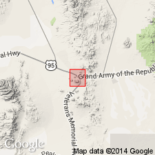
Makes up Mount Oddie and Rushton Hill, Tonopah district, Nye Co, NV. Consists of white siliceous rhyolite and extends irregularly in spurs and lobes away from Mount Oddie and Rushton Hill. Intrudes later andesite, Fraction dacite breccia (new), Tonopah rhyolite-dacite (new) and Siebert tuff (new). Is apparently of about same age as Brougher dacite (new) and of same nature and origin. Age given as Tertiary.
Source: GNU records (USGS DDS-6; Menlo GNULEX).
- Usage in publication:
-
- Oddie rhyolite*
- Modifications:
-
- Revised
- Mapped
- AAPG geologic province:
-
- Great Basin province
Summary:
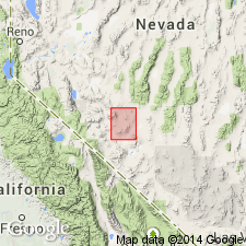
Oddie rhyolite. Described in Coaldale quadrangle where it consists of intrusive masses, dikes, and flows of rhyolite, quartz-latite, and dacite approximately contemporaneous with Esmeralda formation. Thickness of flows is nowhere over a few hundred feet. As used here, formation includes Brougher dacite of Spurr (1905). Age is early Pliocene(?).
Source: GNU records (USGS DDS-6; Menlo GNULEX).
- Usage in publication:
-
- Oddie rhyolite*
- Modifications:
-
- Areal extent
- Revised
- AAPG geologic province:
-
- Great Basin province
Summary:
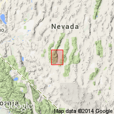
Described in Round Mountain quad where it consists of rhyolite and quartz latite intrusive into sedimentary deposits of Esmeralda formation and flows overlying Esmeralda. In Manhattan report (Ferguson, 1924, USGS Bulletin 723), Intrusive rhyolite cutting Esmeralda was described as Maris rhyolite and quartz latite flow conformably above the sedimentary deposits as uppermost member of Esmeralda, but, because these accord closely in lithology and age relations with Oddie rhyolite (including Brougher dacite) of Tonopah district (Spurr, 1905), older name is retained. Age given as Pliocene(?).
Source: GNU records (USGS DDS-6; Menlo GNULEX).
- Usage in publication:
-
- Oddie Rhyolite*
- Modifications:
-
- Age modified
- AAPG geologic province:
-
- Great Basin province
Summary:
Age is Pliocene [because of stratigraphic relationship with underlying Esmeralda Formation].
Source: GNU records (USGS DDS-6; Menlo GNULEX).
- Usage in publication:
-
- Oddie Rhyolite*
- Modifications:
-
- Areal extent
- Geochronologic dating
- Age modified
- AAPG geologic province:
-
- Great Basin province
Summary:
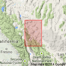
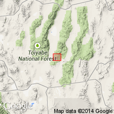
Unit is geographically restricted from Manhattan mining district in southern Toquima Range. Rocks previously mapped as such in this area are reassigned to the middle member of the Round Rock Formation. Oddie Rhyolite at type is 16-17 Ma (early-middle Miocene boundary; Bonham and Garside, 1979). Age of Round Rock Formation is 25 Ma or latest Oligocene based on K-Ar (biotite) and fission-track (zircon) age.
Source: GNU records (USGS DDS-6; Menlo GNULEX).
For more information, please contact Nancy Stamm, Geologic Names Committee Secretary.
Asterisk (*) indicates published by U.S. Geological Survey authors.
"No current usage" (†) implies that a name has been abandoned or has fallen into disuse. Former usage and, if known, replacement name given in parentheses ( ).
Slash (/) indicates name conflicts with nomenclatural guidelines (CSN, 1933; ACSN, 1961, 1970; NACSN, 1983, 2005, 2021). May be explained within brackets ([ ]).

