The National Geologic Map Database is migrating to a new infrastructure. We apologize for any service disruptions during this process.
|
|---|


- Usage in publication:
-
- Ochre Mountain limestone*
- Modifications:
-
- Named
- Dominant lithology:
-
- Limestone
- AAPG geologic province:
-
- Great Basin province
Summary:
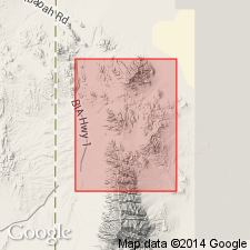
Named for Ochre Mountain, Gold Hill quad, Tooele Co, UT in the Great Basin province. No type locality designated. Composed of massive, brown-gray (fresh), light-blue gray (weathered), mostly fine-grained, but some coarser beds, limestone. Most beds 1+ ft thick. Some beds as much as 10 ft thick. Light gray (tan weathered) chert in basal few hundred ft of Ochre Mountain. About 1,700 ft above base of western facies (in upper thrust which includes Ochre Mountain and overlying Manning Canyon formation) is a black shale and interbedded sandstone named Herat shale member of Ochre Mountain. [Thickness, areal extent, etc. of member not stated.] Formation is probably about 4,500 ft thick. Very fossiliferous. Overlies Woodman formation (new). Of Late Mississippian age.
Source: GNU records (USGS DDS-6; Denver GNULEX).
- Usage in publication:
-
- Ochre Mountain limestone*
- Modifications:
-
- Areal extent
- AAPG geologic province:
-
- Great Basin province
Summary:
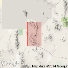
Geographically extended east from Gold Hill district (Nolan, 1935). Exposed only along northern border of map area, T10S, R11W, Tooele Co, UT in the Great Basin province. Occurs chiefly in fault blocks. Is partly exposed. Up to 470 ft exposed in report area. Only general description given because of poor exposures. Consists largely of medium-gray limestone with interbedded dark-gray dolomite. Fossils common (listed). Contains corals, brachiopods. Of Late Mississippian age. Geologic map.
Source: GNU records (USGS DDS-6; Denver GNULEX).
For more information, please contact Nancy Stamm, Geologic Names Committee Secretary.
Asterisk (*) indicates published by U.S. Geological Survey authors.
"No current usage" (†) implies that a name has been abandoned or has fallen into disuse. Former usage and, if known, replacement name given in parentheses ( ).
Slash (/) indicates name conflicts with nomenclatural guidelines (CSN, 1933; ACSN, 1961, 1970; NACSN, 1983, 2005, 2021). May be explained within brackets ([ ]).