

- Usage in publication:
-
- Ocean Reef Group
- Modifications:
-
- Named
- Dominant lithology:
-
- Limestone
- Dolomite
- Anhydrite
- AAPG geologic province:
-
- South Florida province
Summary:
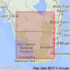
Named for Ocean Reef Club, a nearby settlement. Type section is Sinclair No. 1 Williams well, sec. 24, T59S, R40E, Monroe Co., FL. Type interval is 9250 to 10,165 ft. Occurs in southernmost Florida. Includes Sunniland Limestone, Lake Trafford Formation, and an unnamed section. Consists of limestone, dolomite, and anhydrite. Overlies the Punta Gorda Anhydrite [Formation] of the Glades Group; underlies the Big Cypress Group. Report includes type logs and sections. Age is Early Cretaceous (Comanchean, upper Trinity).
Source: GNU records (USGS DDS-6; Reston GNULEX).
- Usage in publication:
-
- Ocean Reef Group*
- Modifications:
-
- Overview
- AAPG geologic province:
-
- South Florida province
Summary:
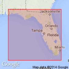
Shown (undivided) in the subsurface of the eastern Gulf Coastal Plain. Age is Early Cretaceous (middle and late Albian, Trinitian).
Source: GNU records (USGS DDS-6; Reston GNULEX).
- Usage in publication:
-
- Ocean Reef Group*
- Modifications:
-
- Overview
- AAPG geologic province:
-
- Florida platform
Summary:
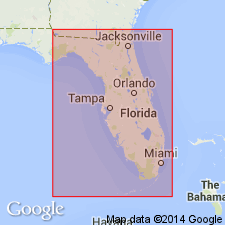
Early Cretaceous Ocean Reef Group, including its Sunniland, Lake Trafford, and Rattlesnake Hammock Formations, is used following Faulkner and Applegate (1986, Gulf Coast Association of Geological Societies Transactions, v. 36, p. 83-96) and Lloyd (1991, Florida Geological Survey Information Circular 107, p. 1-62).
Source: GNU records (USGS DDS-6; Reston GNULEX).
For more information, please contact Nancy Stamm, Geologic Names Committee Secretary.
Asterisk (*) indicates published by U.S. Geological Survey authors.
"No current usage" (†) implies that a name has been abandoned or has fallen into disuse. Former usage and, if known, replacement name given in parentheses ( ).
Slash (/) indicates name conflicts with nomenclatural guidelines (CSN, 1933; ACSN, 1961, 1970; NACSN, 1983, 2005, 2021). May be explained within brackets ([ ]).