- Usage in publication:
-
- Occoquan granite
- Modifications:
-
- Named
- Dominant lithology:
-
- Granite
- AAPG geologic province:
-
- Piedmont-Blue Ridge province
Summary:
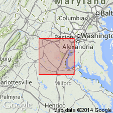
Described here as greenish-gray, coarse-grained and horizontally sheeted granite. Exposed along Occoquan Run, from village of Occoquan to forks of Bull Run and at other places. Capped by crystalline schist. Age is Precambrian.
Source: GNU records (USGS DDS-6; Reston GNULEX).

- Usage in publication:
-
- Occoquan granite
- Modifications:
-
- Overview
- Geochronologic dating
- AAPG geologic province:
-
- Piedmont-Blue Ridge province
Summary:
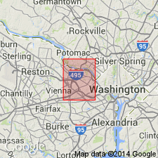
Occoquan used informally on the State map. Described as light-gray, medium- to coarse-grained, muscovite-biotite monzogranite and lesser granodiorite and tonalite. In many places the rock has a strong quartz-rod lineation, and locally, two foliations. Intrudes Popes Head Formation, Lunga Reservoir Formation, Accotink Schist, and Sykesville Formation. The Occoquan has been dated recently at 479+/-9 Ma (U-Pb single-crystal zircon; J.N. Aleinikoff, written communication, 1993). Map symbol indicates a Cambrian and Ordovician age.
Source: GNU records (USGS DDS-6; Reston GNULEX).

- Usage in publication:
-
- Occoquan Granite*
- Modifications:
-
- Age modified
- Geochronologic dating
- AAPG geologic province:
-
- Piedmont-Blue Ridge province
Summary:
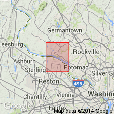
Occoquan Granite intrudes Indian Run Formation in adjoining Annandale 7.5-min quad. Mose and Nagel (1982) determined an Rb-Sr whole-rock isochron age for Occoquan of 494+/-14 Ma. Preliminary U-Pb dating of zircon suggests that Occoquan may be Early Ordovician (J.N. Aleinikoff, 1992, oral commun.).
Source: GNU records (USGS DDS-6; Reston GNULEX).

- Usage in publication:
-
- Occoquan Granite*
- Modifications:
-
- Age modified
- Geochronologic dating
- AAPG geologic province:
-
- Piedmont-Blue Ridge province
Summary:
Occoquan Granite has an age of 484/-8 Ma [Early Ordovician] based on weighted average of 236Pb/238U ion microprobe ages of ten zircons.
Source: GNU records (USGS DDS-6; Reston GNULEX).
For more information, please contact Nancy Stamm, Geologic Names Committee Secretary.
Asterisk (*) indicates published by U.S. Geological Survey authors.
"No current usage" (†) implies that a name has been abandoned or has fallen into disuse. Former usage and, if known, replacement name given in parentheses ( ).
Slash (/) indicates name conflicts with nomenclatural guidelines (CSN, 1933; ACSN, 1961, 1970; NACSN, 1983, 2005, 2021). May be explained within brackets ([ ]).

