

- Usage in publication:
-
- Oak Grove Gneiss
- Modifications:
-
- Named
- Dominant lithology:
-
- Gneiss
- AAPG geologic province:
-
- Piedmont-Blue Ridge province
Summary:
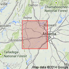
Rock unit in Carroll County, GA, is herein named the Oak Grove Gneiss for exposures along Hwy 27 in community of Oak Grove. Unit is described as leucocratic, medium- to coarse-grained, blastoporphyritic biotite-muscovite-plagioclase-quartz-microcline orthogneiss. Microcline megacrysts up to 2 cm are common. Intrudes the Bill Arp Formation at the type locality; elsewhere intrudes the Dog River and Andy Mountain Formations, all of Sandy Springs Group. Is probably a pre- to synmetamorphic pluton and is very similar mineralogically and texturally to the Austell and Sand Hill Gneisses. All three may have been derived from a common parent magma. No dimensions given for the pluton, but geologic map reveals the intrusion to be 1 to 2 km wide and greater than 6 km long.
Source: GNU records (USGS DDS-6; Reston GNULEX).
For more information, please contact Nancy Stamm, Geologic Names Committee Secretary.
Asterisk (*) indicates published by U.S. Geological Survey authors.
"No current usage" (†) implies that a name has been abandoned or has fallen into disuse. Former usage and, if known, replacement name given in parentheses ( ).
Slash (/) indicates name conflicts with nomenclatural guidelines (CSN, 1933; ACSN, 1961, 1970; NACSN, 1983, 2005, 2021). May be explained within brackets ([ ]).