

- Usage in publication:
-
- Oak Creek beds*
- Modifications:
-
- Original reference
- Dominant lithology:
-
- Shale
- Sandstone
- AAPG geologic province:
-
- Powder River basin
Summary:
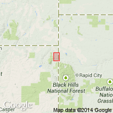
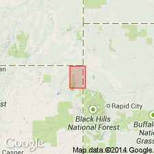
Pg. 593, fig. 122, and map. Oak Creek beds. Lower Cretaceous clays and sandstone; upper beds mostly soft clays, clay shales, sandy shales, and soft sandstones, 60 to 120 feet thick; basal 35 to 40 feet consists of massive yellow sandstone, often cross-bedded. Unconformably underlie Dakota sandstone and unconformably overlie Barrett shales in Black Hills. Formerly included in Dakota sandstone (Upper Cretaceous). [Map shows these beds along Oak Creek, Crook Co., northeastern WY.]
[GNC remark (US geologic names lexicon, USGS Bull. 896, p. 1523): According to W.W. Rubey (personal communication, January 1937) the rocks described are Fuson formation and upper part of Lakota sandstone as mapped in USGS Aladdin folio, no. 128, 1905.]
Source: US geologic names lexicon (USGS Bull. 896, p. 1523).
- Usage in publication:
-
- Oak Creek beds
- Modifications:
-
- Not used
Summary:
Name not used in the area of Hay Creek coal field, Crook Co, WY. Lakota formation and Fuson shale used for rocks at about the same stratigraphic position.
Source: GNU records (USGS DDS-6; Denver GNULEX).
For more information, please contact Nancy Stamm, Geologic Names Committee Secretary.
Asterisk (*) indicates published by U.S. Geological Survey authors.
"No current usage" (†) implies that a name has been abandoned or has fallen into disuse. Former usage and, if known, replacement name given in parentheses ( ).
Slash (/) indicates name conflicts with nomenclatural guidelines (CSN, 1933; ACSN, 1961, 1970; NACSN, 1983, 2005, 2021). May be explained within brackets ([ ]).