

- Usage in publication:
-
- Nushagak beds*
- Modifications:
-
- Named
- Biostratigraphic dating
- Dominant lithology:
-
- Sand
- Gravel
- Arkose
- Clay
- AAPG geologic province:
-
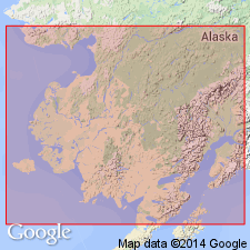
- Alaska Southwestern region
Summary:
Exposed at high bluffs on east shore of Nushagak Bay and around Cape Etolin to Bristol Bay, southwestern AK. Composed of stratified gravels, coarse sands, arkoses, and clays, in places slightly consolidated and folded. Unconformably underlies clays and gravels of Pleistocene age. Age of Nushagak is Miocene based on fossils collected at Nushagak by C.W. McKay and identified by W.H. Dall.
Source: GNU records (USGS DDS-6; Menlo GNULEX).
- Usage in publication:
-
- Nushagak formation*
- Modifications:
-
- Revised
- Age modified
- AAPG geologic province:
-
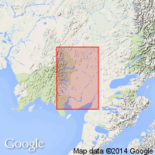
- Alaska Southwestern region
Mertie, J.B., Jr., 1938, The Nushagak district, Alaska: U.S. Geological Survey Bulletin, 903, 96 p.
Summary:
"Nushagak beds" of Spurr (1900) is called Nushagak formation. Age is Miocene or Pliocene based on interpretation of fossils identified by W.H. Dall (list included).
Source: GNU records (USGS DDS-6; Menlo GNULEX).
For more information, please contact Nancy Stamm, Geologic Names Committee Secretary.
Asterisk (*) indicates published by U.S. Geological Survey authors.
"No current usage" (†) implies that a name has been abandoned or has fallen into disuse. Former usage and, if known, replacement name given in parentheses ( ).
Slash (/) indicates name conflicts with nomenclatural guidelines (CSN, 1933; ACSN, 1961, 1970; NACSN, 1983, 2005, 2021). May be explained within brackets ([ ]).