- Usage in publication:
-
- Noxapaga Formation
- Modifications:
-
- Named
- Dominant lithology:
-
- Sandstone
- Coal
- Claystone
- Conglomerate
- AAPG geologic province:
-
- Alaska West-Central region
Summary:
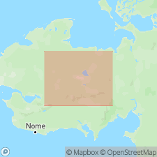
Named applied to Tertiary rocks formerly assigned to Kougarok Gravels (Hopkins, 1963) in sides of large pingo west of Noxapaga River, Bendeleben quad, Seward Peninsula, AK. Name Kougarok Gravels is retained for Pleistocene-age material overlying Noxapaga Formation. Consists of sandstone, coal, claystone and conglomerate. Also exposed in old shaft on Turner Creek and possibly beneath Kougarok Gravels along parts of Dahl Creek. Probably much thicker in central part of Tertiary basin shown on map of Bendeleben quad which gives age as "most probably Miocene".
Source: GNU records (USGS DDS-6; Menlo GNULEX).
For more information, please contact Nancy Stamm, Geologic Names Committee Secretary.
Asterisk (*) indicates published by U.S. Geological Survey authors.
"No current usage" (†) implies that a name has been abandoned or has fallen into disuse. Former usage and, if known, replacement name given in parentheses ( ).
Slash (/) indicates name conflicts with nomenclatural guidelines (CSN, 1933; ACSN, 1961, 1970; NACSN, 1983, 2005, 2021). May be explained within brackets ([ ]).

