- Usage in publication:
-
- North Gage Road bed
- Modifications:
-
- First used
- AAPG geologic province:
-
- Adirondack uplift
Summary:
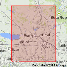
Russia Member of Denley Limestone (Trenton Group) is divided into Wolf Hollow, Brayton Corners, and High Falls divisions. Wolf Hollow division of the Russia Member includes nodular calcilutites to wackestones. It is marked by intervals of poorly bedded, conspicuously nodular, muddy carbonate. Steinkerns and trilobites abundant. At base, North Gage Road bed (new, informal), a bioturbated packstone, forms a 0.2 m ledge in its type locality at Rathbun Brook. The North Gage Road bed may correlate with a 0.7-m-thick interval of wacke- to packstone that crops out at Trenton Falls, just above Sherman Falls. The bed overlies the Poland Member of the Denley Limestone. Age is Middle Ordovician.
Source: GNU records (USGS DDS-6; Reston GNULEX).
For more information, please contact Nancy Stamm, Geologic Names Committee Secretary.
Asterisk (*) indicates published by U.S. Geological Survey authors.
"No current usage" (†) implies that a name has been abandoned or has fallen into disuse. Former usage and, if known, replacement name given in parentheses ( ).
Slash (/) indicates name conflicts with nomenclatural guidelines (CSN, 1933; ACSN, 1961, 1970; NACSN, 1983, 2005, 2021). May be explained within brackets ([ ]).

