

- Usage in publication:
-
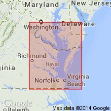
- Norfolk formation
- Modifications:
-
- Named
- Dominant lithology:
-
- Clay
- Sand
- AAPG geologic province:
-
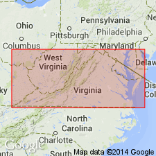
- Atlantic Coast basin
Summary:
Norfolk formation, named in this report, consists of clays and sands and in places, sandy clays, as in canal cuts below Portsmouth. Unit contains great quantities of shell remains, making the beds distinctly calcareous. Thickness probably less than 50 ft. Buried beneath heavy mantle of later Pleistocene sediments so that areal extent and thickness cannot be readily determined. Probably forms northward extension of Pliocene beds of NC. Fossils chiefly marine Mollusca of characteristic Pliocene types. Underlies Lafayette formation. Age then is Pliocene(?) and Pleistocene.
Source: GNU records (USGS DDS-6; Reston GNULEX).
- Usage in publication:
-
- Norfolk Member
- Modifications:
-
- Revised
- AAPG geologic province:
-
- Atlantic Coast basin
Summary:
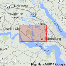
Kempsville (top), Norfolk, and Great Bridge Formations reduced to Member rank and assigned to Acredale Formation, here named in the Virginia Beach area. Units represent single transgressive-regressive event, laterally and vertically intergrading lithofacies and biofacies of estuarine silty sands, continental shelf sands, and beach to fluvial sands. Age is late Pleistocene.
Source: GNU records (USGS DDS-6; Reston GNULEX).
- Usage in publication:
-
- Norfolk
- Modifications:
-
- Not used
- AAPG geologic province:
-
- Atlantic Coast basin
Summary:
Norfolk Formation, as used by Oaks and Coch (1973), was shown by Peebles and others (1984) to consist of Tabb Formation and an older unit separated by disconformity. Older unit here named Shirley Formation to eliminate stratigraphic problem.
Source: GNU records (USGS DDS-6; Reston GNULEX).
For more information, please contact Nancy Stamm, Geologic Names Committee Secretary.
Asterisk (*) indicates published by U.S. Geological Survey authors.
"No current usage" (†) implies that a name has been abandoned or has fallen into disuse. Former usage and, if known, replacement name given in parentheses ( ).
Slash (/) indicates name conflicts with nomenclatural guidelines (CSN, 1933; ACSN, 1961, 1970; NACSN, 1983, 2005, 2021). May be explained within brackets ([ ]).