- Usage in publication:
-
- Nopah Dolomite*
- Modifications:
-
- Areal extent
- Overview
- Redescribed
- Dominant lithology:
-
- Dolomite
- AAPG geologic province:
-
- Great Basin province
Summary:
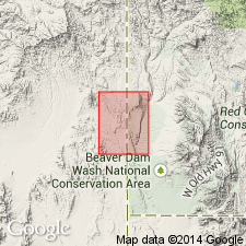
Mapped in Lincoln Co, NV, Great Basin province; exposed in southwest quarter of quad. Redescribed; lower 60 m consists of light-gray, coarse-grained, massive dolomite and upper 60 m consists of dark gray, coarse-grained, thick-bedded to massive, locally cherty dolomite that is commonly mottled, and includes "tiger-stripped" zones of secondary dolomitization. Lower part is incompletely exposed. Nopah is commonly tectonically brecciated; breccia is recemented forming resistant ledges and cliffs. No fossils found in this quad though silicified brachiopods EOORTHIS sp. found in adjacent Lime Mountain quad. Unit is about 120 m thick. Nopah is oldest exposed unit; conformably underlies lower part of Pogonip Group. Late Cambrian age.
Source: GNU records (USGS DDS-6; Denver GNULEX).
For more information, please contact Nancy Stamm, Geologic Names Committee Secretary.
Asterisk (*) indicates published by U.S. Geological Survey authors.
"No current usage" (†) implies that a name has been abandoned or has fallen into disuse. Former usage and, if known, replacement name given in parentheses ( ).
Slash (/) indicates name conflicts with nomenclatural guidelines (CSN, 1933; ACSN, 1961, 1970; NACSN, 1983, 2005, 2021). May be explained within brackets ([ ]).

